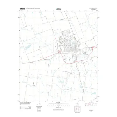
2013 Map of Taylor
USGS Topo · Published 2013About this map
Mustang Cr and its various forks carve through this Williamson County landscape, defining the drainage patterns for a region transitionally balanced between agricultural tracts and the expanding residential footprint of Taylor. The map reveals a sophisticated water management system, including several reservoirs such as Soil Conservation Service Site 29 Reservoir and the smaller City Lake. Transportation is a central theme, with the Taylor Municipal Airport serving as a prominent aviation hub while a dense network of county roads like Old Georgetown Rd and Thorndale Rd connect the surrounding farms to the town center.
Find a feature on this map
139 named features on this map. Tap any name to fly to it.
Don’t see what you’re looking for? This feature index may not catch every label — zoom into the map to look around manually.
Map Details
Editions of this 2013 Taylor Map
This is the sole edition of this map. No revisions or reprints were ever made.
Other maps of this area
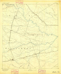
1885 · Taylor
USGS Topo · 1:125,000
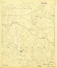
1885 · Bastrop
USGS Topo · 1:125,000
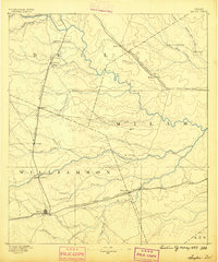
1887 · Taylor
USGS Topo · 1:125,000
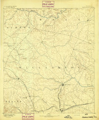
1893 · Georgetown
USGS Topo · 1:125,000
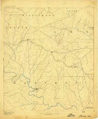
1893 · Bastrop
USGS Topo · 1:125,000
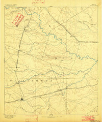
1894 · Taylor
USGS Topo · 1:125,000
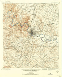
1896 · Austin
USGS Topo · 1:125,000
1897 · Austin
USGS Topo · 1:125,000
1904 · Bastrop
USGS Topo · 1:125,000
1910 · Austin
USGS Topo · 1:125,000