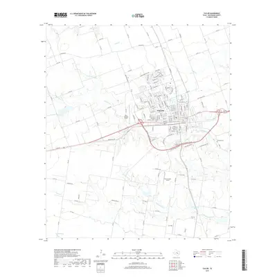
2019 Map of Taylor
USGS Topo · Published 2019About this map
Taylor sits as the central hub of this Williamson County landscape, where the urban grid meets the agricultural reaches of the Texas blackland prairies. The town is defined by a dense street network and key aviation facilities including the Taylor Municipal Airport to the west and smaller airstrips like Macho Grande Airport and Luv Field to the south. Local heritage is grounded in sites such as Saint Marys Cem and Guadalupe Cem, providing valuable touchpoints for genealogical research.
Find a feature on this map
154 named features on this map. Tap any name to fly to it.
Don’t see what you’re looking for? This feature index may not catch every label — zoom into the map to look around manually.
Map Details
Editions of this 2019 Taylor Map
This is the sole edition of this map. No revisions or reprints were ever made.
Other maps of this area
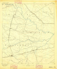
1885 · Taylor
USGS Topo · 1:125,000
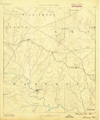
1885 · Bastrop
USGS Topo · 1:125,000
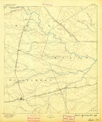
1887 · Taylor
USGS Topo · 1:125,000
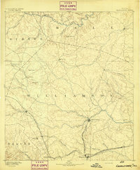
1893 · Georgetown
USGS Topo · 1:125,000
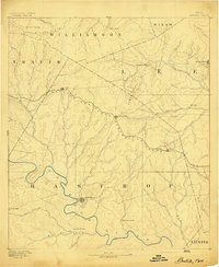
1893 · Bastrop
USGS Topo · 1:125,000
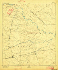
1894 · Taylor
USGS Topo · 1:125,000
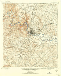
1896 · Austin
USGS Topo · 1:125,000
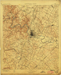
1897 · Austin
USGS Topo · 1:125,000
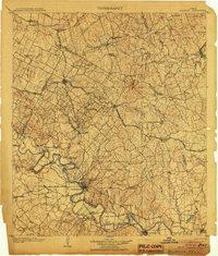
1904 · Bastrop
USGS Topo · 1:125,000
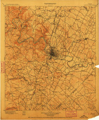
1910 · Austin
USGS Topo · 1:125,000