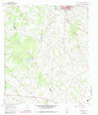
1966 Map of Teague South
USGS Topo · Published 1983About this map
Teague serves as the regional hub in this mid-1960s survey of Freestone and Limestone counties, appearing during a period of steady infrastructure development. The landscape is defined by the Burlington Northern railroad corridor and a complex network of pipelines that traverse the rolling terrain. Outside the primary settlement, the rural character of the era is preserved in small communities like Asia and Personville, the latter situated near the southern boundary line.
Find a feature on this map
46 named features on this map. Tap any name to fly to it.
Don’t see what you’re looking for? This feature index may not catch every label — zoom into the map to look around manually.
Map Details
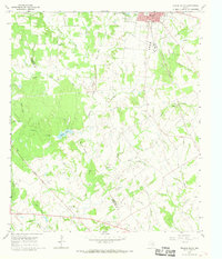
Editions of this 1966 Teague South Map
2 editions found
Other maps of this area

1919 · Fairfield
USGS Topo · 1:62,500

1920 · Mexia
USGS Topo · 1:62,500

1954 · Waco
USGS Topo · 1:250,000

1955 · Waco
USGS Topo · 1:250,000

1956 · Jewett
USGS Topo · 1:62,500

1963 · Teague North
USGS Topo · 1:24,000

1963 · Mexia
USGS Topo · 1:24,000

1965 · Dew
USGS Topo · 1:24,000
1965 · Fairfield
USGS Topo · 1:24,000
1965 · Donie
USGS Topo · 1:24,000