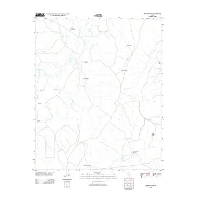
2012 Map of Tee Pee City
USGS Topo · Published 2012About this map
Tee Pee City sits near the junction of the Middle Pease River and Tee Pee Cr, anchoring a landscape defined by ranching infrastructure and intermittent water sources. This portion of Cottle County is characterized by a dense network of water tanks and named windmills, reflecting the vital necessity of groundwater management for livestock in the Texas Rolling Plains. Notable water features include Old Headquarters Tank, Cow Hollow Tank, and New Tank, which are scattered among the drainages of Sand Cr and Cow Hollow Cr.
Find a feature on this map
31 named features on this map. Tap any name to fly to it.
Don’t see what you’re looking for? This feature index may not catch every label — zoom into the map to look around manually.
Map Details
Editions of this 2012 Tee Pee City Map
This is the sole edition of this map. No revisions or reprints were ever made.
Other maps of this area
1954 · Lubbock
USGS Topo · 1:250,000
1954 · Plainview
USGS Topo · 1:250,000
1958 · Plainview
USGS Topo · 1:250,000
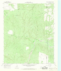
1966 · Fields Canyon
USGS Topo · 1:24,000
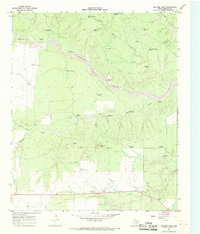
1966 · Ballard Camp
USGS Topo · 1:24,000
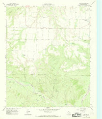
1966 · Cee Vee
USGS Topo · 1:24,000
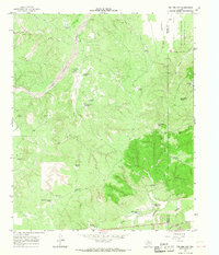
1966 · Tee Pee City
USGS Topo · 1:24,000
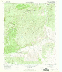
1966 · Devils Canyon
USGS Topo · 1:24,000
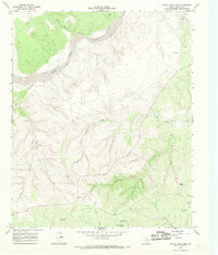
1967 · Turtle Hole Camp
USGS Topo · 1:24,000
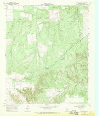
1968 · Russellville
USGS Topo · 1:24,000