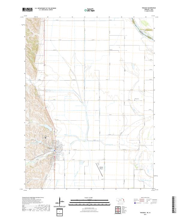
2021 Map of Tekamah
USGS Topo · Published 2021About this map
Tekamah serves as the focal point of this Eastern Nebraska landscape, where the Missouri River valley transitions from the loess hills into a highly engineered agricultural basin. The town layout is anchored by the Burt County Courthouse, surrounded by a grid of numbered streets that terminate near the Tekamah-Mud Cr Reservoir 22-A. The surrounding countryside reveals an extensive network of drainage infrastructure essential to managing the floodplain, including the Riverside Ditch, Douglas Ditch, and Foree Ditch.
Find a feature on this map
45 named features on this map. Tap any name to fly to it.
Don’t see what you’re looking for? This feature index may not catch every label — zoom into the map to look around manually.
Map Details
Editions of this 2021 Tekamah Map
This is the sole edition of this map. No revisions or reprints were ever made.
Other maps of this area

1955 · Fremont
USGS Topo · 1:250,000

1957 · Fremont
USGS Topo · 1:250,000

1958 · Fremont
USGS Topo · 1:250,000

1970 · Oakland SE
USGS Topo · 1:24,000

1970 · Little Sioux
USGS Topo · 1:24,000
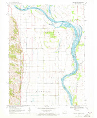
1970 · Tekamah NW
USGS Topo · 1:24,000
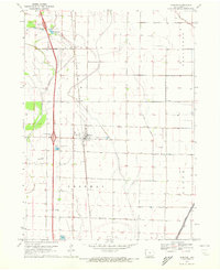
1970 · Blencoe
USGS Topo · 1:24,000
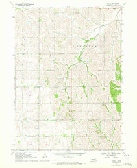
1970 · Bertha
USGS Topo · 1:24,000

1970 · Herman
USGS Topo · 1:24,000

1970 · Mondamin
USGS Topo · 1:24,000