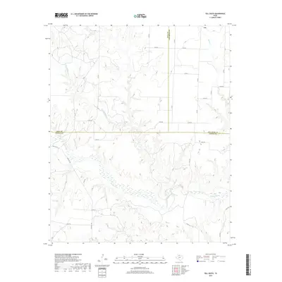
2019 Map of Tell South
USGS Topo · Published 2019About this map
Tell sits at the northern edge of this West Texas landscape, where the rolling plains of Hall County meet the borders of Childress and Cottle counties. The topography is defined by the significant drainage system of the N Pease River, which flows across the central and southern portions of the quadrangle. This wide, braided riverbed is fed by several tributaries, including Richland Cr and Running Water Cr, creating a complex network of draws and creek beds that break up the agricultural and ranching terrain.
Find a feature on this map
33 named features on this map. Tap any name to fly to it.
Don’t see what you’re looking for? This feature index may not catch every label — zoom into the map to look around manually.
Map Details
Editions of this 2019 Tell South Map
This is the sole edition of this map. No revisions or reprints were ever made.
Other maps of this area
1954 · Plainview
USGS Topo · 1:250,000
1958 · Plainview
USGS Topo · 1:250,000
1966 · Fields Canyon
USGS Topo · 1:24,000
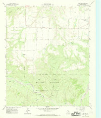
1966 · Cee Vee
USGS Topo · 1:24,000
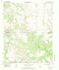
1967 · Tell South
USGS Topo · 1:24,000
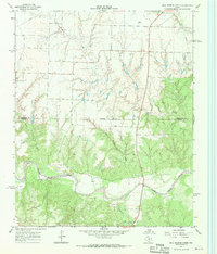
1967 · Hell Roaring Creek
USGS Topo · 1:24,000
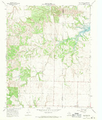
1967 · Tell North
USGS Topo · 1:24,000
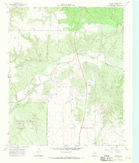
1967 · Dunlap
USGS Topo · 1:24,000
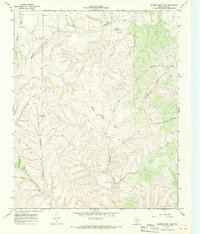
1967 · Badger Nest Tank
USGS Topo · 1:24,000
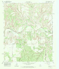
1967 · Northfield
USGS Topo · 1:24,000