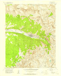
1955 Map of Telluride
USGS Topo · Published 1957About this map
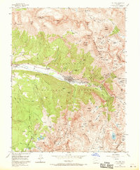
The high alpine mining landscape of the San Juan Mountains centers on the valley of the San Miguel River, where the town of Telluride and the nearby settlement of Pandora supported a massive network of hard-rock extraction. Surveyed in the mid-1950s, this area shows the infrastructure of an era when industrial mining still defined the local geography, featuring extensive tailings ponds and the Pandora Mill. The map documents numerous vertical operations including the Smuggler Mine, Humboldt Mine, and Argentine Mine, many connected by a subterranean labyrinth of tunnels like the Stilwell Tunnel and Bullion Tunnel. High basins such as Savage Basin and Marshall Basin reveal the sites of earlier high-altitude activity, most notably the Tomboy ruins. Outside the industrial core, the landscape transitions to the peaks of the Uncompahgre National Forest, where the Alta Lakes and the Lone Tree Cem provide evidence of isolated mountain communities and cemeteries.
Find a feature on this map
106 named features on this map. Tap any name to fly to it.
Don’t see what you’re looking for? This feature index may not catch every label — zoom into the map to look around manually.
Map Details
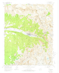
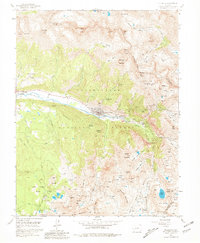
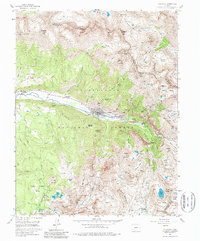
Editions of this 1955 Telluride Map
8 editions found
Other maps of this area

1897 · Telluride
USGS Topo · 1:62,500

1897 · Silverton
USGS Topo · 1:62,500

1901 · Silverton
USGS Topo · 1:62,500

1902 · Silverton
USGS Topo · 1:62,500

1902 · Ouray
USGS Topo · 1:62,500

1904 · Ouray
USGS Topo · 1:62,500

1904 · Telluride
USGS Topo · 1:62,500

1909 · Montrose
USGS Topo · 1:125,000

1911 · Montrose
USGS Topo · 1:125,000

1945 · Durango
USGS Topo · 1:250,000