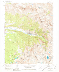
1955 Map of Telluride
USGS Topo · Published 1981About this map
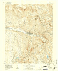
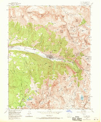
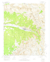
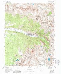
Telluride serves as the focal point of this mid-century survey, situated in a narrow valley floor carved by the San Miguel River. The landscape is dominated by the industrial footprint of hard-rock mining, with the town and nearby Pandora flanked by dozens of operations such as the Smuggler Mine, Liberty Bell Mine, and the high-elevation Tomboy settlement. In the surrounding basins, the map documents the infrastructure required for high-altitude extraction, including the Stillwell Tunnel and numerous tailing ponds. Beyond the industrial zones, the terrain rises sharply to prominent landmarks like Bridal Veil Falls and the serene Alta Lakes. The marginal notes contain a rare archival detail, noting that land lines were omitted in several townships due to "alleged fraud or defects in the surveys," reflecting the complex history of early Western land claims.
Find a feature on this map
93 named features on this map. Tap any name to fly to it.
Don’t see what you’re looking for? This feature index may not catch every label — zoom into the map to look around manually.
Map Details
Editions of this 1955 Telluride Map
8 editions found
Other maps of this area

1897 · Telluride
USGS Topo · 1:62,500

1897 · Silverton
USGS Topo · 1:62,500

1901 · Silverton
USGS Topo · 1:62,500

1902 · Silverton
USGS Topo · 1:62,500

1902 · Ouray
USGS Topo · 1:62,500

1904 · Ouray
USGS Topo · 1:62,500

1904 · Telluride
USGS Topo · 1:62,500

1909 · Montrose
USGS Topo · 1:125,000

1911 · Montrose
USGS Topo · 1:125,000

1945 · Durango
USGS Topo · 1:250,000