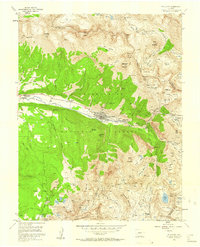
1955 Map of Telluride
USGS Topo · Published 1960About this map
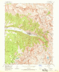
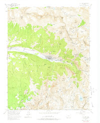
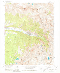
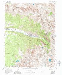
Telluride serves as the industrial and residential anchor of this high-altitude landscape, situated along the San Miguel River where the valley narrows before rising into the high peaks of the Uncompahgre National Forest. The map reflects a mid-century period when the area's mining heritage remained physically prominent, evidenced by the numerous tunnel systems and mills surrounding the town. To the east, the settlement of Pandora and the Liberty Bell Mill mark the transition from the valley floor to the steep basins above.
Find a feature on this map
111 named features on this map. Tap any name to fly to it.
Don’t see what you’re looking for? This feature index may not catch every label — zoom into the map to look around manually.
Map Details
Editions of this 1955 Telluride Map
8 editions found
Other maps of this area

1897 · Telluride
USGS Topo · 1:62,500

1897 · Silverton
USGS Topo · 1:62,500

1901 · Silverton
USGS Topo · 1:62,500

1902 · Silverton
USGS Topo · 1:62,500

1902 · Ouray
USGS Topo · 1:62,500

1904 · Ouray
USGS Topo · 1:62,500

1904 · Telluride
USGS Topo · 1:62,500

1909 · Montrose
USGS Topo · 1:125,000

1911 · Montrose
USGS Topo · 1:125,000

1945 · Durango
USGS Topo · 1:250,000