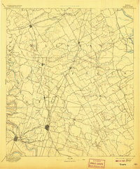
1892 Map of Temple
USGS Topo · Published 1906About this map
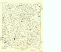
The growing railroad junction at Temple serves as the focal point of this Central Texas landscape at the end of the 19th century. Positioned at the intersection of the Gulf Colorado & Santa Fe Railway and the Missouri Kansas & Texas Ry, the city anchors a region defined by agricultural expansion and river crossings. To the west, the Leon River and Lampasas River converge near the county seat of Belton, while the northeast corner is bounded by the Brazos River. Early river transport is evidenced by Ross Crossing and Moores Crossing, which provided essential transit points before the maturation of the highway system. Small rural centers like Mooresville, Eagle Springs, and Westphalia are scattered throughout the blackland prairies, illustrating the dense network of early settlements that supported the local cotton-and-cattle economy.
Find a feature on this map
83 named features on this map. Tap any name to fly to it.
Don’t see what you’re looking for? This feature index may not catch every label — zoom into the map to look around manually.
Map Details
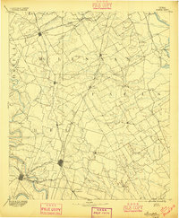
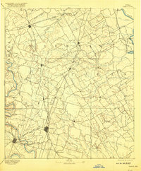
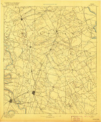
Editions of this 1892 Temple Map
6 editions found
Other maps of this area

1885 · Taylor
USGS Topo · 1:125,000

1887 · Taylor
USGS Topo · 1:125,000

1888 · Meridian
USGS Topo · 1:125,000

1892 · Temple
USGS Topo · 1:125,000

1892 · Waco
USGS Topo · 1:125,000

1893 · Georgetown
USGS Topo · 1:125,000

1894 · Meridian
USGS Topo · 1:125,000

1894 · Gatesville
USGS Topo · 1:125,000

1894 · Taylor
USGS Topo · 1:125,000

1920 · Waco
USGS Topo · 1:125,000