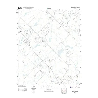
2012 Map of Terrell North
USGS Topo · Published 2012About this map
The Walter C Porter Farm anchors the southeastern landscape of this region, a notable site of agricultural heritage situated near Porter Lake. This part of Texas is defined by its complex network of creeks, including the winding High Point Cr and Little High Point Cr, which carve through the terrain and influence the layout of rural roads and residential clusters. Small communities and named locales such as Chisholm, Colquitt, and Whitehead are dispersed throughout the area, connected by Farm to Market roads like FM-548 and FM-1392. Aviation is a prominent theme in the local infrastructure, with several facilities like Bishop Field Airport, Airpark East Airport, and Rives Air Park serving the region. Water management is also evident through the Tawakoni Balancing Reservoir and the presence of numerous small cemeteries like Dry Creek Cem and Forest Lawn Cem, which serve as quiet markers of local family history.
Find a feature on this map
139 named features on this map. Tap any name to fly to it.
Don’t see what you’re looking for? This feature index may not catch every label — zoom into the map to look around manually.
Map Details
Editions of this 2012 Terrell North Map
This is the sole edition of this map. No revisions or reprints were ever made.
Other maps of this area

1912 · Rockwall
USGS Topo · 1:31,680

1919 · Royse City
USGS Topo · 1:62,500

1954 · Dallas
USGS Topo · 1:250,000

1956 · Kaufman
USGS Topo · 1:62,500

1956 · Quinlan
USGS Topo · 1:62,500

1958 · Dallas
USGS Topo · 1:250,000

1962 · Elmo
USGS Topo · 1:24,000
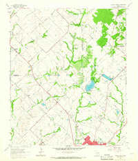
1962 · Terrell North
USGS Topo · 1:24,000
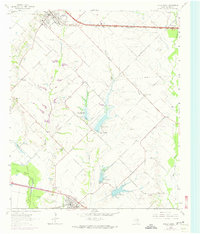
1963 · Forney South
USGS Topo · 1:24,000
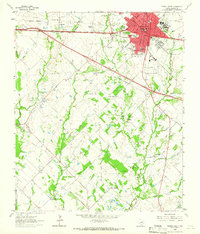
1963 · Terrell South
USGS Topo · 1:24,000