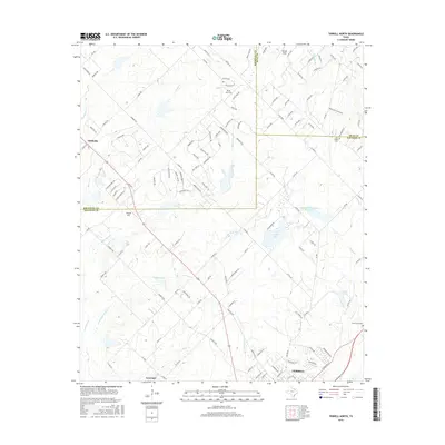
2016 Map of Terrell North
USGS Topo · Published 2016About this map
The city of Terrell anchors the southern edge of this North Texas landscape, where the convergence of Rockwall, Hunt, and Kaufman counties reveals a transition from growing suburban fringes to rural ranch land. Local aviation is a distinct characteristic of the area, evidenced by facilities such as Rives Air Park, Airpark East, and Bishop Field scattered across the plains. Water management and drainage define the geography, with High Point Cr and its tributaries like Little High Point Cr carving through the terrain alongside larger bodies such as the Tawakoni Balancing Reservoir and Culb Lake. For family historians, the map identifies significant burial sites including Dry Creek Cem and Forest Lawn Cem, while the small settlements of Chisholm and Lawrence provide focal points for understanding the early 21st-century development of the region's road network, including FM 548 and FM 550.
Find a feature on this map
135 named features on this map. Tap any name to fly to it.
Don’t see what you’re looking for? This feature index may not catch every label — zoom into the map to look around manually.
Map Details
Editions of this 2016 Terrell North Map
This is the sole edition of this map. No revisions or reprints were ever made.
Other maps of this area

1912 · Rockwall
USGS Topo · 1:31,680

1919 · Royse City
USGS Topo · 1:62,500

1954 · Dallas
USGS Topo · 1:250,000

1956 · Kaufman
USGS Topo · 1:62,500

1956 · Quinlan
USGS Topo · 1:62,500

1958 · Dallas
USGS Topo · 1:250,000

1962 · Elmo
USGS Topo · 1:24,000
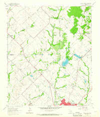
1962 · Terrell North
USGS Topo · 1:24,000
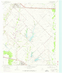
1963 · Forney South
USGS Topo · 1:24,000
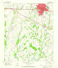
1963 · Terrell South
USGS Topo · 1:24,000