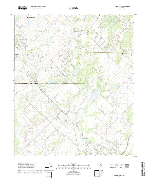
2022 Map of Terrell North
USGS Topo · Published 2022About this map
The northern edge of Terrell and its surrounding rural prairie dominate this landscape where Kaufman, Rockwall, and Hunt counties meet. This contemporary survey captures the transition from historic agricultural lands to modern residential developments, particularly near McLendon-Chisholm and Chisholm. The region is defined by a dense network of tributaries including High Point Creek, Bachelor Cr, and Kings Cr, which feed into local landmarks like Club Lake and Porter Lake.
Find a feature on this map
140 named features on this map. Tap any name to fly to it.
Don’t see what you’re looking for? This feature index may not catch every label — zoom into the map to look around manually.
Map Details
Editions of this 2022 Terrell North Map
This is the sole edition of this map. No revisions or reprints were ever made.
Other maps of this area

1912 · Rockwall
USGS Topo · 1:31,680

1919 · Royse City
USGS Topo · 1:62,500

1954 · Dallas
USGS Topo · 1:250,000

1956 · Kaufman
USGS Topo · 1:62,500

1956 · Quinlan
USGS Topo · 1:62,500

1958 · Dallas
USGS Topo · 1:250,000

1962 · Elmo
USGS Topo · 1:24,000
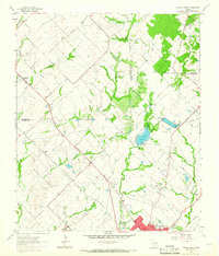
1962 · Terrell North
USGS Topo · 1:24,000
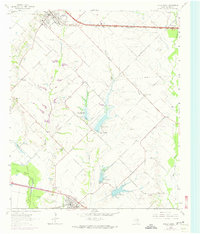
1963 · Forney South
USGS Topo · 1:24,000
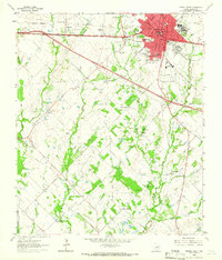
1963 · Terrell South
USGS Topo · 1:24,000