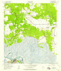
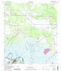
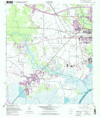
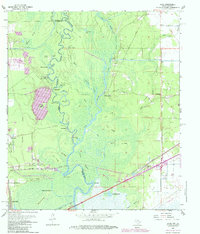
1957 Map of Terry
USGS Topo · Published 1958This historical map portrays the area of Terry in 1957, primarily covering Orange as well as portions of Jefferson County. Featuring a scale of 1:24000, this map provides a highly detailed snapshot of the terrain, roads, buildings, counties, and historical landmarks in the Terry region at the time. Published in 1958, it is one of 6 known editions of this map due to revisions or reprints.
Find a feature on this map
24 named features on this map. Tap any name to fly to it.
Don’t see what you’re looking for? This feature index may not catch every label — zoom into the map to look around manually.
Map Details
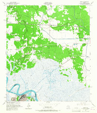
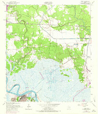
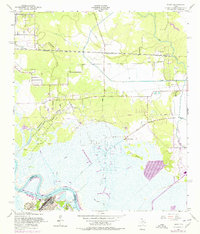
Editions of this 1957 Terry Map
6 editions found
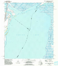
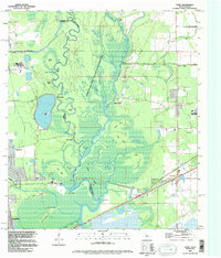
Historical Maps of Bessie Heights Through Time
15 maps found

1926 Lakeview
Orange County, TX

1926 Terry
Orange County, TX

1926 Texla
Orange County, TX
1943 Orangefield
Orange County, TX
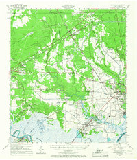
1943 Terry
Orange County, TX

1943 Texla
Orange County, TX

1943 West of Greens Bayou
Orange County, TX
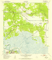
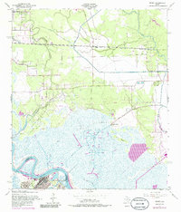
1957 Orangefield
Orange County, TX
1957 Orangefield
Orange County, TX
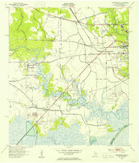
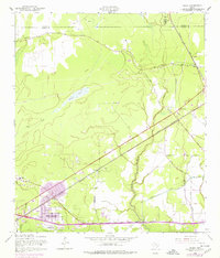
1957 Terry
Orange County, TX
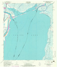
1957 Texla
Orange County, TX
1957 West of Greens Bayou
Orange County, TX
1960 Echo
Orange County, TX
1993 West of Greens Bayou
Orange County, TX
1994 Echo
Orange County, TX