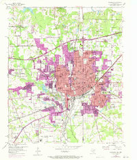
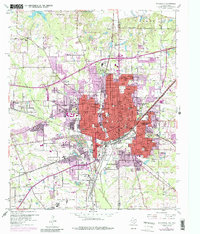
1954 Map of Texarkana
USGS Topo · Published 1971About this map
Texarkana straddles the boundary between Texas and Arkansas, serving as a major railroad crossroads for the Southern Pacific, Texas and Pacific, St Louis Southwestern, and Kansas City Southern lines. The urban landscape is densely packed with mid-century civic infrastructure, including the St Louis Southwestern Railway Hospital and a high concentration of educational institutions like the Booker T Washington High Sch and Texarkana Junior College.
Find a feature on this map
108 named features on this map. Tap any name to fly to it.
Don’t see what you’re looking for? This feature index may not catch every label — zoom into the map to look around manually.
Map Details
Editions of this 1954 Texarkana Map
6 editions found

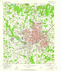
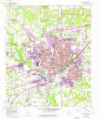
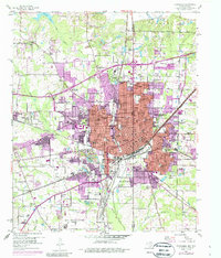
Other maps of this area

1909 · Texarkana
USGS Topo · 1:62,500

1950 · Ogden
USGS Topo · 1:24,000

1950 · Barkman
USGS Topo · 1:24,000

1951 · Ogden
USGS Topo · 1:24,000

1951 · Barkman
USGS Topo · 1:24,000

1951 · Homan
USGS Topo · 1:24,000

1952 · Mandeville
USGS Topo · 1:24,000

1952 · Fouke
USGS Topo · 1:24,000

1953 · Texarkana
USGS Topo · 1:250,000

1953 · El Dorado
USGS Topo · 1:250,000