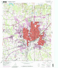
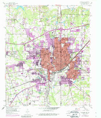
1954 Map of Texarkana
USGS Topo · Published 1987About this map
The border city of Texarkana serves as a critical railroad junction in this mid-century survey, where the Texas and Pacific, Missouri Pacific, and Kansas City Southern lines converge. The urban footprint is marked by a concentration of educational and religious institutions, including Sacred Heart Academy, the Texarkana Junior College campus, and Booker T Washington High School. To the west, Wake Village and Nash represent the burgeoning suburban expansion of the 1950s, while the southern reaches are dominated by the sprawling grounds of the Federal Correctional Institution. The landscape is etched by local waterways like Nix Creek and McKinney Bayou, with recreational sites such as Spring Lake Park and the Texarkana Country Club providing green space amidst the industrial and rail infrastructure. Genealogical interests are well-served by the presence of numerous burial sites, including Hillcrest Cemetery, Woodlawn Cemetery, and Calvary Cemetery.
Find a feature on this map
78 named features on this map. Tap any name to fly to it.
Don’t see what you’re looking for? This feature index may not catch every label — zoom into the map to look around manually.
Map Details
Editions of this 1954 Texarkana Map
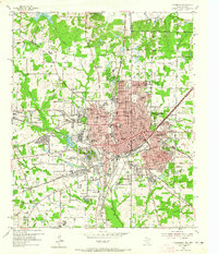
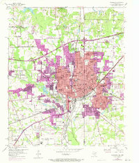
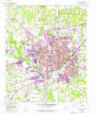
6 editions found

Other maps of this area

1909 · Texarkana
USGS Topo · 1:62,500

1950 · Ogden
USGS Topo · 1:24,000

1950 · Barkman
USGS Topo · 1:24,000

1951 · Ogden
USGS Topo · 1:24,000

1951 · Barkman
USGS Topo · 1:24,000

1951 · Homan
USGS Topo · 1:24,000

1952 · Mandeville
USGS Topo · 1:24,000

1952 · Fouke
USGS Topo · 1:24,000

1953 · Texarkana
USGS Topo · 1:250,000

1953 · El Dorado
USGS Topo · 1:250,000