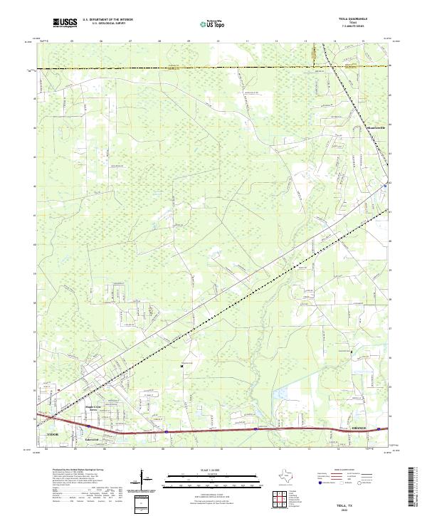
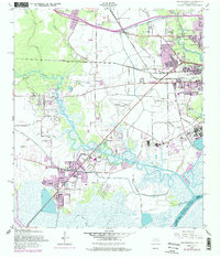
2022 Map of Texla
USGS Topo · Published 2022About this map
Cow Bayou and its numerous tributaries, including Caney Cr and Tiger Cr, dominate the low-lying terrain of this Southeast Texas landscape. The convergence of three counties—Jasper, Newton, and Orange—defines the northern boundary of the map, while the southern edge follows the developed corridors of Vidor and Orange. This era shows a mix of established rural settlements like Mauriceville alongside modern residential pockets such as Maple Crest Acres and Lakewood.
Find a feature on this map
31 named features on this map. Tap any name to fly to it.
Don’t see what you’re looking for? This feature index may not catch every label — zoom into the map to look around manually.
Map Details
Editions of this 2022 Texla Map
This is the sole edition of this map. No revisions or reprints were ever made.
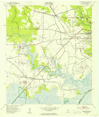
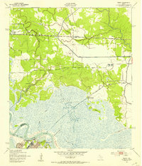
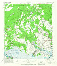
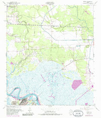
Historical Maps of Vidor Through Time
20 maps found

1926 Lakeview
Orange County, TX

1926 Terry
Orange County, TX

1926 Texla
Orange County, TX
1943 Orangefield
Orange County, TX
1943 Terry
Orange County, TX

1943 Texla
Orange County, TX

1943 West of Greens Bayou
Orange County, TX
1957 Orangefield
Orange County, TX
1957 Orangefield
Orange County, TX
1957 Terry
Orange County, TX
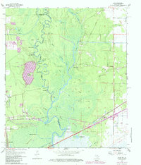
1957 Texla
Orange County, TX
1957 West of Greens Bayou
Orange County, TX
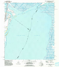
1960 Echo
Orange County, TX
1993 West of Greens Bayou
Orange County, TX
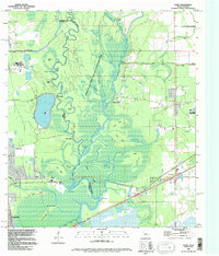
1994 Echo
Orange County, TX
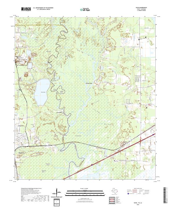
2022 Echo
Orange County, TX
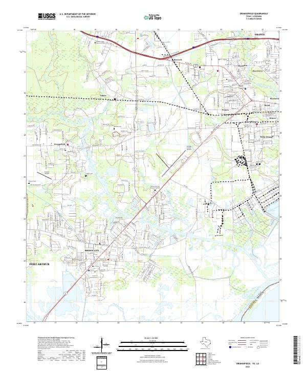
2022 Orangefield
Orange County, TX
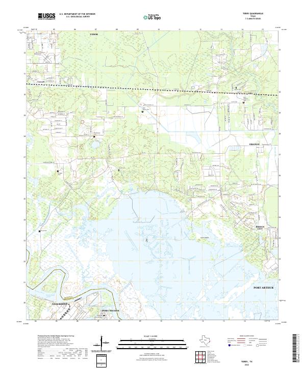
2022 Terry
Orange County, TX
2022 Texla
Orange County, TX
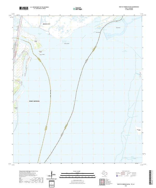
2022 West of Greens Bayou
Orange County, TX