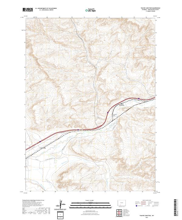
2021 Map of Thayer Junction
USGS Topo · Published 2021About this map
Thayer Junction and Salt Wells sit along the primary east-west transportation corridor of southern Wyoming, where modern infrastructure overlays historic routes. The topographic detail highlights the convergence of drainage systems such as Bitter Cr and Salt Wells Cr amidst the complex landforms of Horsethief Canyon. This 2021 survey reveals a landscape deeply influenced by its history of passage, featuring the path of the Overland Trl, a vital historical trail system through the High Desert. The layout of Salt Wells Ranch Rd and various service roads illustrate how access to this arid terrain has evolved, supporting both ranching interests and the maintenance of modern transcontinental highways.
Find a feature on this map
17 named features on this map. Tap any name to fly to it.
Don’t see what you’re looking for? This feature index may not catch every label — zoom into the map to look around manually.
Map Details
Editions of this 2021 Thayer Junction Map
This is the sole edition of this map. No revisions or reprints were ever made.
Other maps of this area

1908 · Rock Springs
USGS Topo · 1:62,500

1910 · Rock Springs
USGS Topo · 1:62,500

1954 · Rock Springs
USGS Topo · 1:250,000

1958 · Rock Springs
USGS Topo · 1:250,000

1958 · Boars Tusk
USGS Topo · 1:62,500

1958 · Superior
USGS Topo · 1:62,500

1962 · Rock Springs
USGS Topo · 1:250,000

1968 · North Baxter
USGS Topo · 1:24,000

1968 · Point Of Rocks SW
USGS Topo · 1:24,000

1968 · Point Of Rocks
USGS Topo · 1:24,000