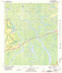
1980 Map of The Basin
USGS Topo · Published 1981About this map
Mobile River and its intricate distributaries dominate this riverine landscape at the boundary of Baldwin and Mobile counties. The map documents a critical hydrologic network where the Middle River and Tensaw River branch through marshy bottomlands, creating significant landmasses like Mound Island. Along the western bank, elevated features such as Twentyseven-Mile Bluff and Twentyone-Mile Bluff provide topographical contrast to the surrounding wetlands. This area holds significant colonial history, marked by the Fort Louis Historical Marker, which identifies the early 18th-century site of French settlement in the region. The interior is a labyrinth of water bodies including The Basin and Bayou Dead Lake, illustrating a complex delta system before further modern modification. Small-scale industrial activity is noted at the Claypit near the southwestern marshes.
Find a feature on this map
46 named features on this map. Tap any name to fly to it.
Don’t see what you’re looking for? This feature index may not catch every label — zoom into the map to look around manually.
Map Details
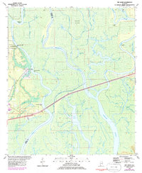
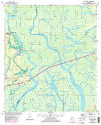
Editions of this 1980 The Basin Map
3 editions found
Other maps of this area

1941 · Chickasaw
USGS Topo · 1:31,680

1941 · Bay Minette
USGS Topo · 1:62,500

1941 · Creola
USGS Topo · 1:62,500

1942 · Hurricane
USGS Topo · 1:31,680
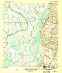
1943 · Hurricane
USGS Topo · 1:31,680

1943 · Creola
USGS Topo · 1:62,500

1943 · Chickasaw
USGS Topo · 1:31,680

1943 · Bay Minette
USGS Topo · 1:62,500

1943 · Tensaw
USGS Topo · 1:62,500

1943 · Citronelle
USGS Topo · 1:62,500