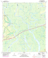
1980 Map of The Basin
USGS Topo · Published 1985About this map
Mound Island and the intricate delta of the Tensaw River dominate this complex fluvial landscape in the early 1980s. The region is defined by a dense network of braided waterways, including Negro Bayou, Mifflin Lake, and Bayou Matche, which weave through the lowlands between the Mobile and Baldwin County line. Cultural landmarks like the Port Louis Historical Marker and Twentyseven Mile Bluff suggest a deep history of navigation and early settlement along these river bends. Industrial activity is sparsely represented by a Claypit and Shipes Canal, while the presence of a small Cem near the river bluffs indicates long-standing local ties to this amphibious terrain. The map captures the area known as The Basin before modern changes altered the flow of features like Six Bits Creek and Maple Bayou.
Find a feature on this map
63 named features on this map. Tap any name to fly to it.
Don’t see what you’re looking for? This feature index may not catch every label — zoom into the map to look around manually.
Map Details
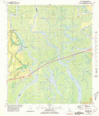
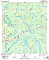
Editions of this 1980 The Basin Map
3 editions found
Other maps of this area

1941 · Chickasaw
USGS Topo · 1:31,680

1941 · Bay Minette
USGS Topo · 1:62,500

1941 · Creola
USGS Topo · 1:62,500

1942 · Hurricane
USGS Topo · 1:31,680
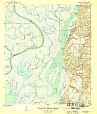
1943 · Hurricane
USGS Topo · 1:31,680

1943 · Creola
USGS Topo · 1:62,500

1943 · Chickasaw
USGS Topo · 1:31,680

1943 · Bay Minette
USGS Topo · 1:62,500

1943 · Tensaw
USGS Topo · 1:62,500

1943 · Citronelle
USGS Topo · 1:62,500