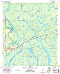
1980 Map of The Basin
USGS Topo · Published 1985About this map
Mound Island dominates this 1980s landscape, a complex fluvial environment where the Mobile River and Tensaw River branch into an intricate network of secondary channels like Middle River and Lizard Bayou. This region is defined by its watery transit history and early colonial sites, specifically the Fort Louis Historical Marker situated near Twentyseven Mile Bluff.
Find a feature on this map
53 named features on this map. Tap any name to fly to it.
Don’t see what you’re looking for? This feature index may not catch every label — zoom into the map to look around manually.
Map Details
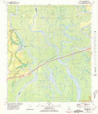
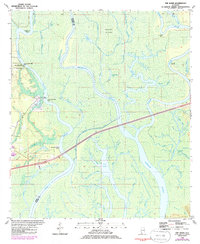
Editions of this 1980 The Basin Map
3 editions found
Other maps of this area

1941 · Chickasaw
USGS Topo · 1:31,680

1941 · Bay Minette
USGS Topo · 1:62,500

1941 · Creola
USGS Topo · 1:62,500

1942 · Hurricane
USGS Topo · 1:31,680
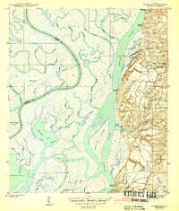
1943 · Hurricane
USGS Topo · 1:31,680

1943 · Creola
USGS Topo · 1:62,500

1943 · Chickasaw
USGS Topo · 1:31,680

1943 · Bay Minette
USGS Topo · 1:62,500

1943 · Tensaw
USGS Topo · 1:62,500

1943 · Citronelle
USGS Topo · 1:62,500