
1957 Map of The Dalles
USGS Topo · Published 1959About this map
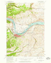
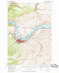
The Dalles Dam anchors this mid-century survey, spanning the Columbia River and creating Lake Celilo. The industrial and transportation identity of the region is evident in the dual rail lines of the Spokane Portland and Seattle and the Union Pacific that flank the water. On the Oregon side, The Dalles serves as a major hub, featuring a High Sch, the Port of The Dalles, and even a Drive-in Theater near the riverfront. North across the Columbia Bridge, the Washington landscape includes Dallesport and its Dallesport Sch. The surrounding hillsides are dotted with rural infrastructure like the Fairfield Sch and Lower Fivemile Sch, along with numerous landmarks such as the Radio Range Station and a Television Tower, reflecting the post-war modernization of the Columbia valley.
Find a feature on this map
64 named features on this map. Tap any name to fly to it.
Don’t see what you’re looking for? This feature index may not catch every label — zoom into the map to look around manually.
Map Details
Editions of this 1957 The Dalles Map
3 editions found
Other maps of this area

1930 · Dufur
USGS Topo · 1:125,000

1934 · Dufur
USGS Topo · 1:125,000

1934 · The Dalles
USGS Topo · 1:125,000

1953 · The Dalles
USGS Topo · 1:250,000

1956 · The Dalles
USGS Topo · 1:250,000

1957 · The Dalles
USGS Topo · 1:250,000

1957 · Klickitat
USGS Topo · 1:62,500

1957 · Goldendale
USGS Topo · 1:62,500

1957 · Wishram
USGS Topo · 1:62,500

1957 · White Salmon
USGS Topo · 1:62,500