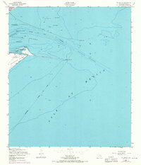
1954 Map of The Jetties
USGS Topo · Published 1970About this map
Old Fort San Jacinto stands at the strategic tip of Galveston Island, overlooking the critical maritime gateway where the Gulf of Mexico meets the protected waters of Bolivar Roads. This maritime survey, based on mid-century field checks with 1969 revisions, focuses on the massive engineering works designed to maintain deep-water access for the Port of Galveston. The North Jetty and South Jetty frame the primary shipping lanes, including the Inner Bar Channel and Outer Bar Channel. Along the shore, the map details the shifting sands of East Beach and the Tidal Flat near Big Reef. Navigation remains the central theme, evidenced by the Galveston Jetty Light and numerous offshore notations for wrecks and exposed masts that once posed hazards to the heavy traffic entering the Galveston City Limits from the open sea.
Find a feature on this map
18 named features on this map. Tap any name to fly to it.
Don’t see what you’re looking for? This feature index may not catch every label — zoom into the map to look around manually.
Map Details
Editions of this 1954 The Jetties Map
3 editions found
Other maps of this area

1930 · Galveston
USGS Topo · 1:24,000

1931 · Flake
USGS Topo · 1:24,000

1932 · Bolivar Point
USGS Topo · 1:24,000

1933 · Caplen
USGS Topo · 1:31,680

1933 · The Jetties
USGS Topo · 1:31,680

1933 · Bolivar Point
USGS Topo · 1:31,680

1933 · Flake
USGS Topo · 1:31,680
1933 · Galveston
USGS Topo · 1:31,680
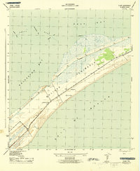
1943 · Flake
USGS Topo · 1:25,000
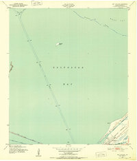
1943 · Port Bolivar
USGS Topo · 1:24,000