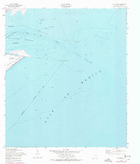
1954 Map of The Jetties
USGS Topo · Published 1977About this map
The northern tip of Galveston Island and the entry to the Texas coast's busiest harbor appear here as they were charted in the mid-1950s, with later updates from the early 1970s. This survey focuses on the critical maritime infrastructure of Bolivar Roads, where the North Jetty and South Jetty extend miles into the Gulf of Mexico to protect deep-water shipping lanes. On the island's northeast edge, East Beach and the site of Old Fort San Jacinto mark the gateway for vessels navigating the Inner Bar Channel. The map documents a landscape defined by seafaring, showing specific Anchorage zones, the Galveston Jetty Light, and the Galveston City Limits as they cross the open water toward the Bolivar Peninsula.
Find a feature on this map
13 named features on this map. Tap any name to fly to it.
Don’t see what you’re looking for? This feature index may not catch every label — zoom into the map to look around manually.
Map Details
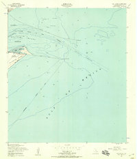
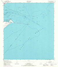
Editions of this 1954 The Jetties Map
3 editions found
Other maps of this area

1930 · Galveston
USGS Topo · 1:24,000

1931 · Flake
USGS Topo · 1:24,000

1932 · Bolivar Point
USGS Topo · 1:24,000

1933 · Caplen
USGS Topo · 1:31,680

1933 · The Jetties
USGS Topo · 1:31,680

1933 · Bolivar Point
USGS Topo · 1:31,680

1933 · Flake
USGS Topo · 1:31,680
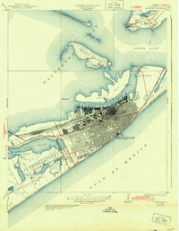
1933 · Galveston
USGS Topo · 1:31,680
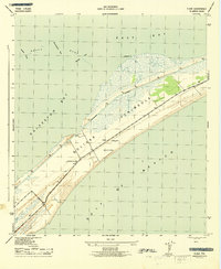
1943 · Flake
USGS Topo · 1:25,000
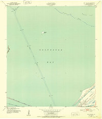
1943 · Port Bolivar
USGS Topo · 1:24,000