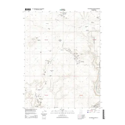
2014 Map of The Windows Section
USGS Topo · Published 2014About this map
Arches National Park reveals its complex geological architecture in this detailed survey, centered on the concentrated formations of The Windows Section. This landscape is defined by its density of natural stone spans and pedestals, including iconic landmarks like Balanced Rock, Double Arch, and the Eye of the Whale Arch. The map documents the drainage patterns of Salt Valley and Courthouse Wash, illustrating how seasonal water has carved the sandstone into features like the Garden of Eden and Devils Golf Ball. Beyond the primary clusters, the survey tracks the primitive road network, such as Arches Entrance Rd and Delicate Arch Rd, which provide access to these remote desert wonders. This 2014 record captures the park's topography before modern foot-traffic patterns and natural erosion further alter these fragile stone monuments.
Find a feature on this map
78 named features on this map. Tap any name to fly to it.
Don’t see what you’re looking for? This feature index may not catch every label — zoom into the map to look around manually.
Map Details
Editions of this 2014 The Windows Section Map
This is the sole edition of this map. No revisions or reprints were ever made.
Other maps of this area
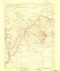
1885 · La Sal
USGS Topo · 1:250,000
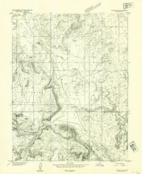
1952 · Moab 4 NW
USGS Topo · 1:24,000
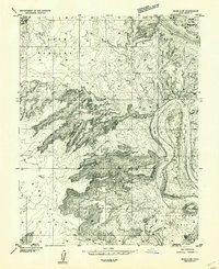
1952 · Moab 4 SW
USGS Topo · 1:24,000
1954 · Mt. Waas 3 NW
USGS Topo · 1:24,000
1954 · Mt. Waas 3 SW
USGS Topo · 1:24,000
1954 · Castle Valley
USGS Topo · 1:62,500
1956 · Moab
USGS Topo · 1:250,000
1958 · Thompson
USGS Topo · 1:62,500
1958 · Cisco
USGS Topo · 1:62,500
1959 · Moab
USGS Topo · 1:250,000