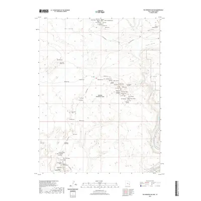
2020 Map of The Windows Section
USGS Topo · Published 2020About this map
Arches National Park reveals its complex geological architecture in this survey, centering on the famed The Windows Section. The landscape is a dense network of named sandstone features, from the massive Double Arch and Elephant Butte to smaller formations like Ham Rock and the Devils Golf Ball. Transport through this high desert terrain is limited to established corridors like the Main Park Road and Windows Road, which navigate between the dramatic verticality of the Fiery Furnace and the broad expanse of Salt Valley. Toward the southeast, the terrain drops toward the Colorado River, where Salt Wash Rapids and Jackass Canyon mark the transition from the park's interior arches to the river's edge. Water sources like Freshwater Spring and Salt Spring are rare vital points in an otherwise arid environment defined by landmarks such as Balanced Rock and the Courthouse Wash Bridge.
Find a feature on this map
69 named features on this map. Tap any name to fly to it.
Don’t see what you’re looking for? This feature index may not catch every label — zoom into the map to look around manually.
Map Details
Editions of this 2020 The Windows Section Map
This is the sole edition of this map. No revisions or reprints were ever made.
Other maps of this area
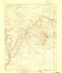
1885 · La Sal
USGS Topo · 1:250,000
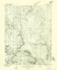
1952 · Moab 4 NW
USGS Topo · 1:24,000
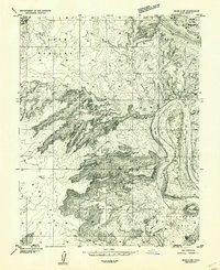
1952 · Moab 4 SW
USGS Topo · 1:24,000
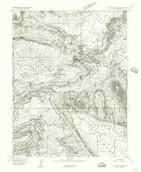
1954 · Mt. Waas 3 NW
USGS Topo · 1:24,000
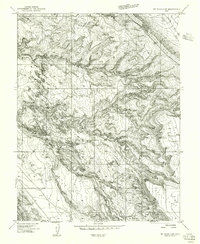
1954 · Mt. Waas 3 SW
USGS Topo · 1:24,000
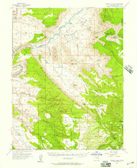
1954 · Castle Valley
USGS Topo · 1:62,500
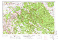
1956 · Moab
USGS Topo · 1:250,000
1958 · Thompson
USGS Topo · 1:62,500
1958 · Cisco
USGS Topo · 1:62,500
1959 · Moab
USGS Topo · 1:250,000