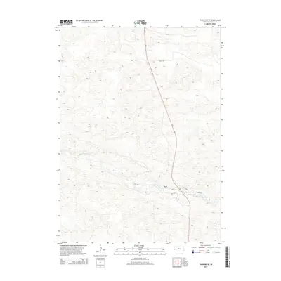
2014 Map of Thedford SE
USGS Topo · Published 2014About this map
The Dismal River carves a deep valley through the sand hills of Thomas County in this early twenty-first-century survey. The landscape is defined by its topographic complexity, showing a high density of sand dunes that surround the river's winding path. Human infrastructure is sparse but notable, centered primarily on the corridor of Us-83 as it runs north to south across the high ground. The Warner Bridge serves as a critical crossing point over the river, connecting local routes like Scenic River Rd and Daly Ln. This map captures a region where the vast cattle ranching tradition is implied by the presence of named private lanes such as Ayres Ln and Ewoldt Rd, which reach deep into the interior hills away from the primary highway.
Find a feature on this map
9 named features on this map. Tap any name to fly to it.
Don’t see what you’re looking for? This feature index may not catch every label — zoom into the map to look around manually.
Map Details
Editions of this 2014 Thedford SE Map
This is the sole edition of this map. No revisions or reprints were ever made.
Other maps of this area

1948 · Thedford
USGS Topo · 1:62,500

1948 · Halsey
USGS Topo · 1:62,500

1949 · Cody Lake
USGS Topo · 1:62,500

1950 · Thedford
USGS Topo · 1:62,500

1950 · Halsey
USGS Topo · 1:62,500

1951 · Cody Lake
USGS Topo · 1:62,500

1951 · Hoagland
USGS Topo · 1:62,500

1954 · North Platte
USGS Topo · 1:250,000

1956 · North Platte
USGS Topo · 1:250,000

1957 · North Platte
USGS Topo · 1:250,000