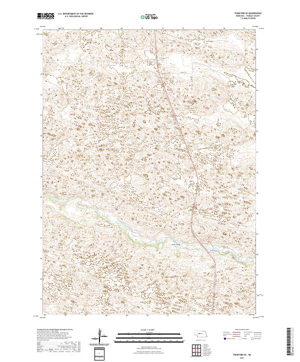
2021 Map of Thedford SE
USGS Topo · Published 2021About this map
The Dismal River winds through the heart of the Sandhills in Thomas County, creating a distinctive hydrological corridor through the undulating Nebraska landscape. This 2021 survey reveals a sparsely populated ranching territory where life is organized around the river valley and a handful of named family and access roads. The Warner Bridge serves as a critical crossing point, connecting ranch lands north and south of the water. Named routes such as BJ Ranch Ln and Ewoldt Rd suggest a modern landscape still defined by long-standing agricultural holdings and private land management. Unlike many river systems with dense riverside development, the area near River Valley Ln remains dominated by natural topography, with road networks adhering closely to the river's winding path.
Find a feature on this map
11 named features on this map. Tap any name to fly to it.
Don’t see what you’re looking for? This feature index may not catch every label — zoom into the map to look around manually.
Map Details
Editions of this 2021 Thedford SE Map
This is the sole edition of this map. No revisions or reprints were ever made.
Other maps of this area

1948 · Thedford
USGS Topo · 1:62,500

1948 · Halsey
USGS Topo · 1:62,500

1949 · Cody Lake
USGS Topo · 1:62,500

1950 · Thedford
USGS Topo · 1:62,500

1950 · Halsey
USGS Topo · 1:62,500

1951 · Cody Lake
USGS Topo · 1:62,500

1951 · Hoagland
USGS Topo · 1:62,500

1954 · North Platte
USGS Topo · 1:250,000

1956 · North Platte
USGS Topo · 1:250,000

1957 · North Platte
USGS Topo · 1:250,000