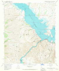
1964 Map of Theodore Roosevelt Dam
USGS Topo · Published 1970About this map
Theodore Roosevelt Dam anchors this landscape at the confluence where Tonto Creek meets the Salt River. In the mid-1960s, the impounded waters of Theodore Roosevelt Lake and Apache Lake dominate the geography, serving as critical infrastructure for the region's power and water management. The small settlement of Roosevelt sits near the dam, supported by a Ranger Station and a Radio Facility.
Find a feature on this map
51 named features on this map. Tap any name to fly to it.
Don’t see what you’re looking for? This feature index may not catch every label — zoom into the map to look around manually.
Map Details
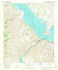
Editions of this 1964 Theodore Roosevelt Dam Map
2 editions found
Other maps of this area

1907 · Roosevelt
USGS Topo · 1:125,000

1909 · Four Peaks
USGS Topo · 1:125,000

1912 · Roosevelt
USGS Topo · 1:125,000

1954 · Mesa
USGS Topo · 1:250,000

1957 · Mesa
USGS Topo · 1:250,000

1958 · Mesa
USGS Topo · 1:250,000

1960 · Mesa
USGS Topo · 1:250,000

1964 · Mesa
USGS Topo · 1:250,000
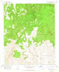
1964 · Armer Mountain
USGS Topo · 1:24,000
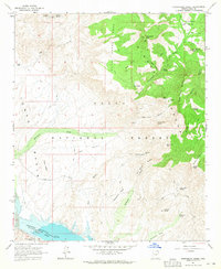
1964 · Greenback Creek
USGS Topo · 1:24,000