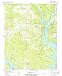
1968 Map of Theodosia
USGS Topo · Published 1977About this map
Bull Shoals Lake dominates the central landscape of this Ozark plateau region, its branching fingers reaching into dozens of hollows and valleys following the 1960s field work. The settlement of Theodosia sits near the heart of the map, featuring a substation and Lutie Cem, while the smaller community of Dugginsville lies to the south near Cedar Creek. This era of the reservoir's history is marked by the presence of the Theodosia Hills Landing Strip and a designated Public Use Area for lake access.
Find a feature on this map
57 named features on this map. Tap any name to fly to it.
Don’t see what you’re looking for? This feature index may not catch every label — zoom into the map to look around manually.
Map Details
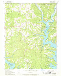
Editions of this 1968 Theodosia Map
2 editions found
Other maps of this area

1893 · Yellville
USGS Topo · 1:125,000

1903 · Yellville
USGS Topo · 1:125,000

1905 · Yellville
USGS Topo · 1:125,000

1929 · Yellville
USGS Topo · 1:125,000

1936 · Thornfield
USGS Topo · 1:48,000

1943 · Protem
USGS Topo · 1:62,500

1943 · Thornfield
USGS Topo · 1:62,500

1945 · Harrison
USGS Topo · 1:250,000

1945 · Thornfield
USGS Topo · 1:62,500

1949 · Harrison
USGS Topo · 1:250,000