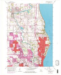
1958 Map of Thiensville
USGS Topo · Published 1977About this map
The Milwaukee River meanders southward through this landscape, serving as a historic divider between the established villages of Bayside and Fox Point on the lakefront and the expanding inland suburbs. During the mid-20th century, the northward push of Milwaukee development is evident in the transition from the scattered gravel pits and agricultural plots of Mequon to the denser residential grids appearing in Brown Deer and Glendale. Along the coast of Lake Michigan, prominent landmarks like Donges Bay and Virmond Park define the shoreline, while the Chicago and North Western corridor provides the essential transit link to the industrial heart of the city. Genealogists will find a wealth of local landmarks, including the large Graceland Cemetery and numerous parish anchors such as St Johns Ch and St Peters Ch that once stood as the social centers for these growing communities.
Find a feature on this map
66 named features on this map. Tap any name to fly to it.
Don’t see what you’re looking for? This feature index may not catch every label — zoom into the map to look around manually.
Map Details
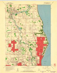
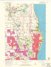
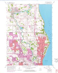
Editions of this 1958 Thiensville Map
4 editions found
Other maps of this area

1892 · Milwaukee
USGS Topo · 1:62,500

1892 · Waukesha
USGS Topo · 1:62,500

1892 · Port Washington
USGS Topo · 1:62,500

1901 · Milwaukee
USGS Topo · 1:62,500

1901 · Waukesha
USGS Topo · 1:62,500

1904 · West Bend
USGS Topo · 1:62,500

1904 · Port Washington
USGS Topo · 1:62,500

1906 · Waukesha
USGS Topo · 1:62,500

1906 · Milwaukee
USGS Topo · 1:62,500

1954 · Milwaukee
USGS Topo · 1:250,000