
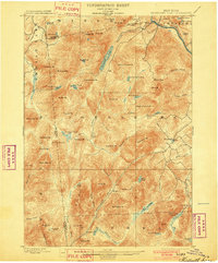
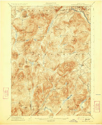
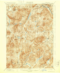
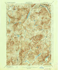
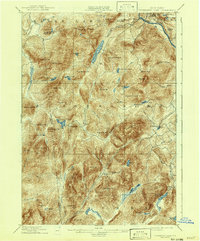
1898 Map of Thirteenth Lake
USGS Topo · Published 1898About this map
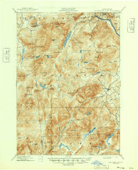
The Hudson River flows across the northern reaches of this late-19th-century Adirondack survey, carving through a landscape defined by the intersection of Minerva, Johnsburg, and Indian Lake. At a time before extensive modern development, the settlement at Bakers Mills stands as the primary outpost in a region dominated by high peaks and water systems. To the west, the Sacandaga River and Shanty Brook drain the dense topography south of Thirteenth Lake.
Find a feature on this map
77 named features on this map. Tap any name to fly to it.
Don’t see what you’re looking for? This feature index may not catch every label — zoom into the map to look around manually.
Map Details
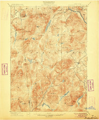
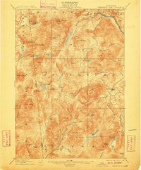
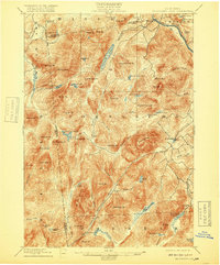
Editions of this 1898 Thirteenth Lake Map
10 editions found
Other maps of this area

1895 · North Creek
USGS Topo · 1:62,500

1897 · North Creek
USGS Topo · 1:62,500

1897 · Schroon Lake
USGS Topo · 1:62,500

1898 · Newcomb
USGS Topo · 1:62,500

1899 · Indian Lake
USGS Topo · 1:62,500

1901 · Newcomb
USGS Topo · 1:62,500

1902 · Indian Lake
USGS Topo · 1:62,500

1903 · Luzerne
USGS Topo · 1:62,500

1903 · Blue Mountain
USGS Topo · 1:62,500

1907 · Lake Pleasant
USGS Topo · 1:62,500