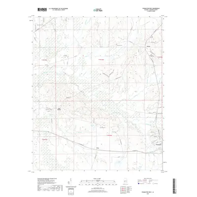
2018 Map of Thomaston West
USGS Topo · Published 2018About this map
Thomaston anchors the southeastern corner of this Marengo County landscape, situated where AL Highway 28 meets a network of local roads like Williams Rd and Golden Rd. The terrain is defined by the winding course of Chickasaw Bogue, which flows through a low-lying area rich with small tributaries such as Sandy Br, Dry Creek, and Michigan Cr. Several distinct rural settlements are scattered across the map, including Hugo to the south and the curiously named Half Chance further west. These communities are often marked by long-standing landmarks, particularly cemeteries that serve as vital records of local families, such as Saint Peter Cem, Saint Mathews Cem, and Cades Chapel Cem. Small water bodies like Mitchell Lake and Whitley Lake provide further focal points within the patchwork of township and range lines that divide this part of the Alabama Black Belt.
Find a feature on this map
66 named features on this map. Tap any name to fly to it.
Don’t see what you’re looking for? This feature index may not catch every label — zoom into the map to look around manually.
Map Details
Editions of this 2018 Thomaston West Map
This is the sole edition of this map. No revisions or reprints were ever made.
Other maps of this area

1953 · Montgomery
USGS Topo · 1:250,000

1956 · Montgomery
USGS Topo · 1:250,000

1957 · Montgomery
USGS Topo · 1:250,000

1968 · Thomaston East
USGS Topo · 1:24,000

1968 · Uniontown West
USGS Topo · 1:24,000

1968 · Thomaston West
USGS Topo · 1:24,000

1968 · Gallion
USGS Topo · 1:24,000

1970 · Old Spring Hill
USGS Topo · 1:24,000

1970 · Linden
USGS Topo · 1:24,000
1978 · Flatwood
USGS Topo · 1:24,000