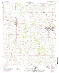
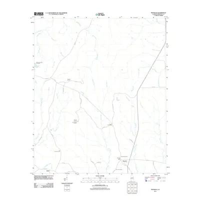
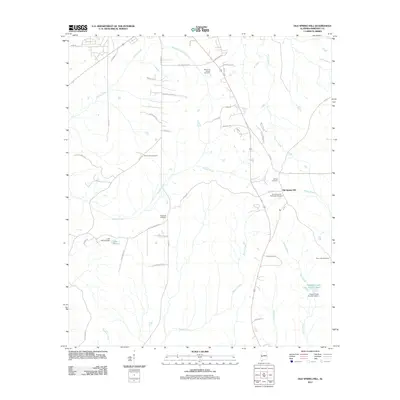
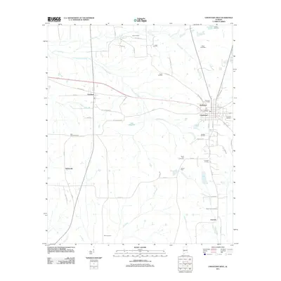
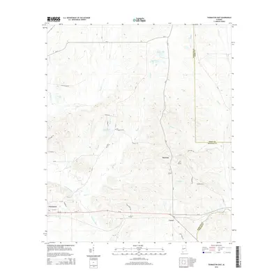
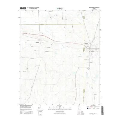
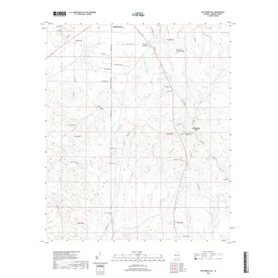
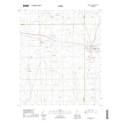
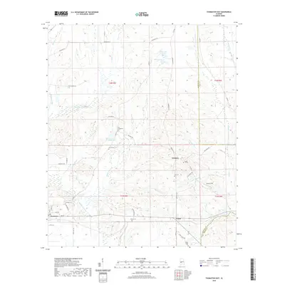
1968 Map of Thomaston West
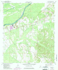
USGS Topo · Published 1986About this map
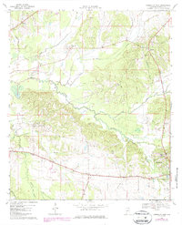
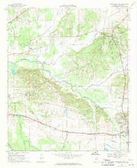
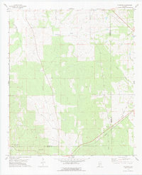
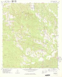
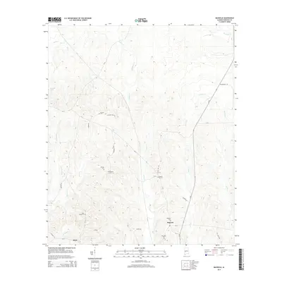
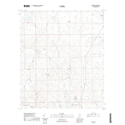
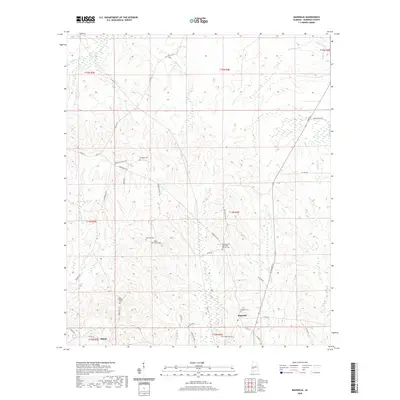
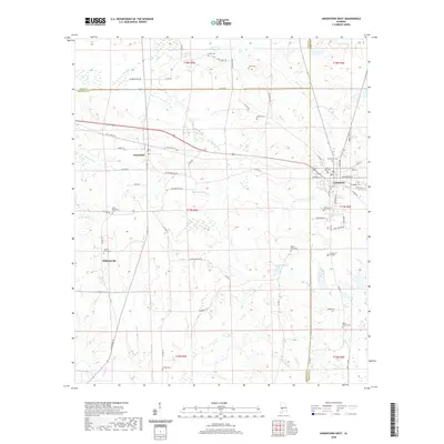
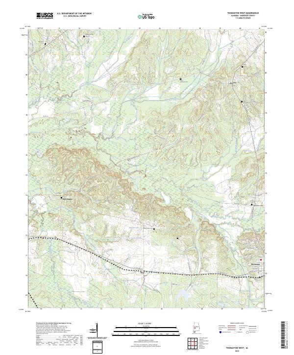
The town of Dayton and the western outskirts of Thomaston anchor this survey of rural Marengo County, Alabama. The landscape is defined by the winding course of Bogue Chickasaw Creek and its many tributaries, including Dry Creek and Caney Branch, which carve through the wooded terrain. This region was historically shaped by the development of the Seaboard railroad line, which skirts the southern portion of the map through Hugo. Local community life is evidenced by numerous landmarks, from religious centers like Grave Hill Ch and St James Ch to educational sites such as the Palmetto Sch and the County Training Sch. Genealogical researchers may find particular value in the documentation of the Black Cem and Holt Cem, alongside family-named sites like Freddie Jones Field. In the south, the presence of a Prison Camp and a Sandpit indicate more specialized land use near the rail corridor.
Find a feature on this map
41 named features on this map. Tap any name to fly to it.
Don’t see what you’re looking for? This feature index may not catch every label — zoom into the map to look around manually.
Map Details
Editions of this 1968 Thomaston West Map
2 editions found
Historical Maps of Thomaston Through Time
72 maps found
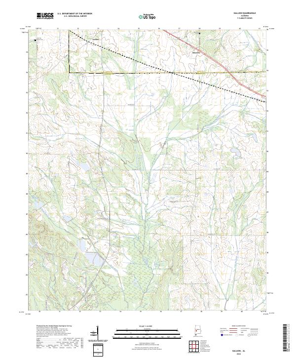
1968 Gallion
Marengo County, AL
1968 Thomaston East
Marengo County, AL
1968 Thomaston West
Marengo County, AL
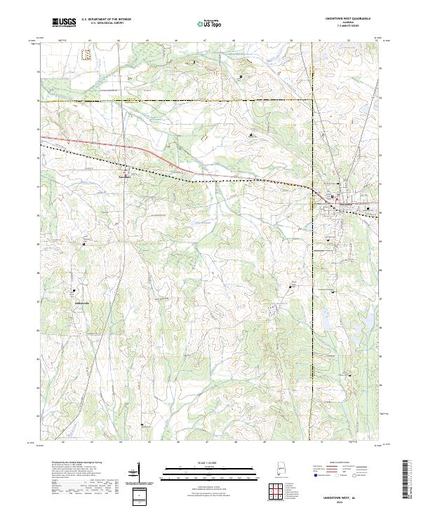
1968 Uniontown West
Marengo County, AL
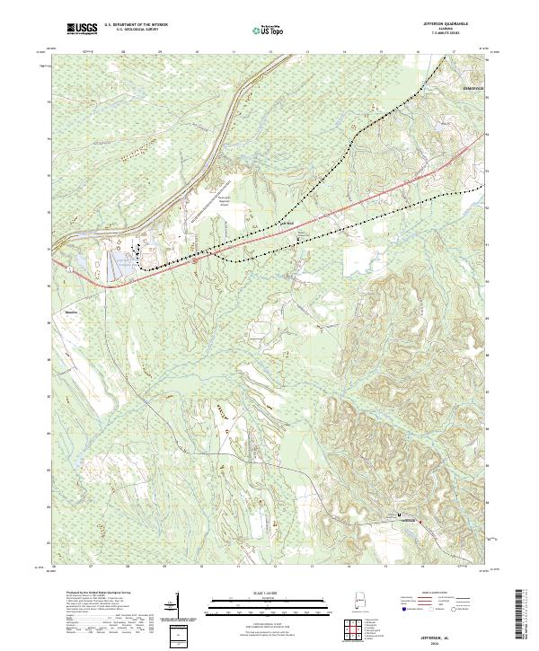
1970 Jefferson
Marengo County, AL
1970 Myrtlewood North
Marengo County, AL
1970 Old Spring Hill
Marengo County, AL
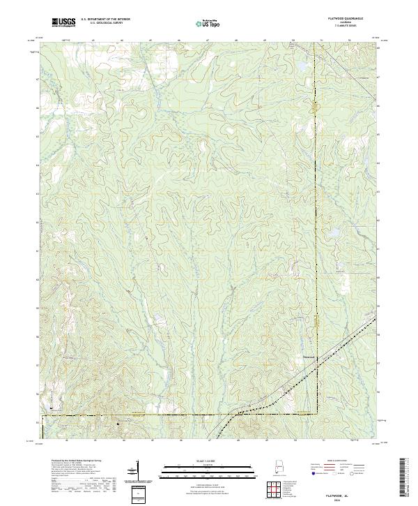
1978 Flatwood
Marengo County, AL
1978 Magnolia
Marengo County, AL
1978 Miller
Marengo County, AL
1978 Myrtlewood South
Marengo County, AL
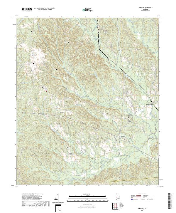
1978 Surginer
Marengo County, AL
2011 Flatwood
Marengo County, AL
2011 Gallion
Marengo County, AL
2011 Jefferson
Marengo County, AL
2011 Magnolia
Marengo County, AL
2011 Miller
Marengo County, AL
2011 Myrtlewood North
Marengo County, AL
2011 Myrtlewood South
Marengo County, AL
2011 Old Spring Hill
Marengo County, AL
2011 Surginer
Marengo County, AL
2011 Thomaston East
Marengo County, AL
2011 Thomaston West
Marengo County, AL
2011 Uniontown West
Marengo County, AL
2014 Flatwood
Marengo County, AL
2014 Gallion
Marengo County, AL
2014 Jefferson
Marengo County, AL
2014 Magnolia
Marengo County, AL
2014 Miller
Marengo County, AL
2014 Myrtlewood North
Marengo County, AL
2014 Myrtlewood South
Marengo County, AL
2014 Old Spring Hill
Marengo County, AL
2014 Surginer
Marengo County, AL
2014 Thomaston East
Marengo County, AL
2014 Thomaston West
Marengo County, AL
2014 Uniontown West
Marengo County, AL
2018 Flatwood
Marengo County, AL
2018 Gallion
Marengo County, AL
2018 Jefferson
Marengo County, AL
2018 Magnolia
Marengo County, AL
2018 Miller
Marengo County, AL
2018 Myrtlewood North
Marengo County, AL
2018 Myrtlewood South
Marengo County, AL
2018 Old Spring Hill
Marengo County, AL
2018 Surginer
Marengo County, AL
2018 Thomaston East
Marengo County, AL
2018 Thomaston West
Marengo County, AL
2018 Uniontown West
Marengo County, AL
2020 Flatwood
Marengo County, AL
2020 Gallion
Marengo County, AL
2020 Jefferson
Marengo County, AL
2020 Magnolia
Marengo County, AL
2020 Miller
Marengo County, AL
2020 Myrtlewood North
Marengo County, AL
2020 Myrtlewood South
Marengo County, AL
2020 Old Spring Hill
Marengo County, AL
2020 Surginer
Marengo County, AL
2020 Thomaston East
Marengo County, AL
2020 Thomaston West
Marengo County, AL
2020 Uniontown West
Marengo County, AL
2024 Flatwood
Marengo County, AL
2024 Gallion
Marengo County, AL
2024 Jefferson
Marengo County, AL
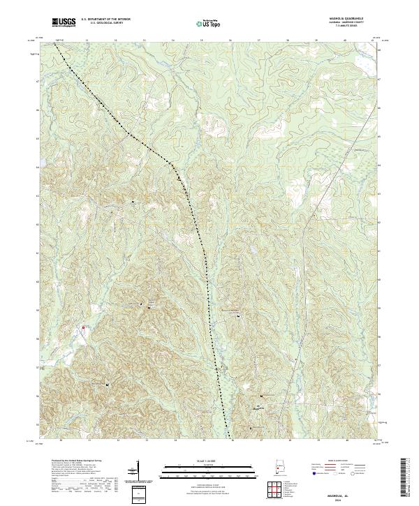
2024 Magnolia
Marengo County, AL
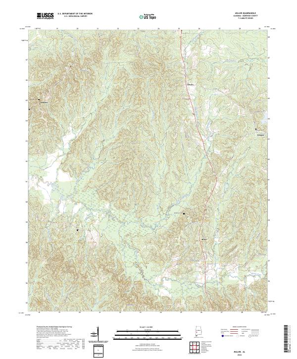
2024 Miller
Marengo County, AL

2024 Myrtlewood North
Marengo County, AL
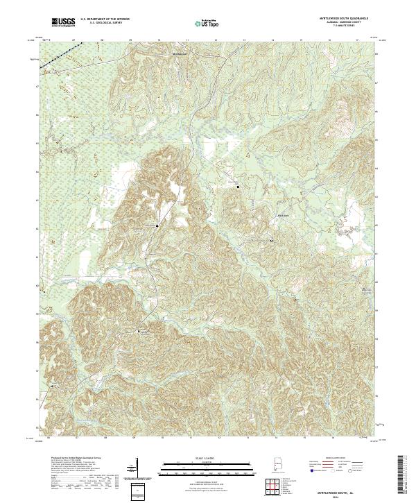
2024 Myrtlewood South
Marengo County, AL
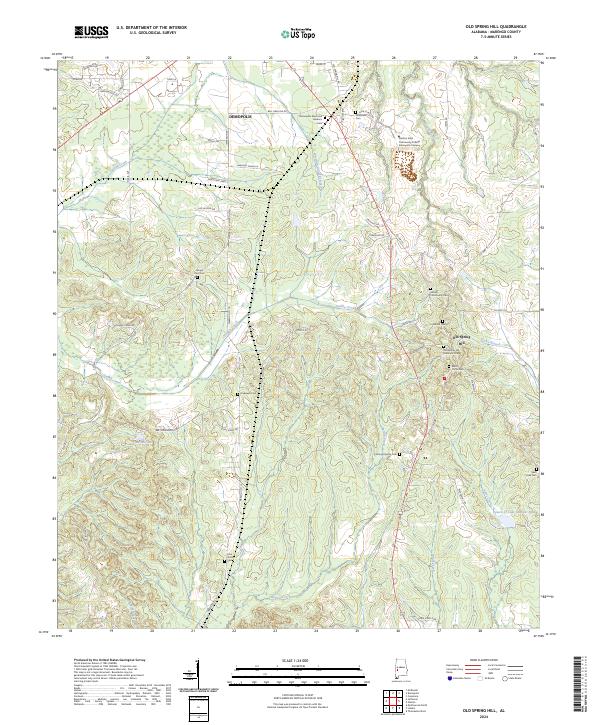
2024 Old Spring Hill
Marengo County, AL
2024 Surginer
Marengo County, AL
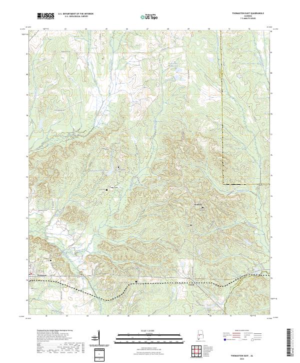
2024 Thomaston East
Marengo County, AL
2024 Thomaston West
Marengo County, AL
2024 Uniontown West
Marengo County, AL