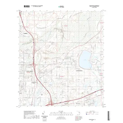
2021 Map of Thonotosassa
USGS Topo · Published 2021About this map
The Hillsborough River dominates the northern landscape of this region, winding through the expansive Lower Hillsborough Flood Detention Area. This environment is defined by its complex hydrology, where Cow House Creek, Flint Creek, and Clay Gully converge toward the basin of Lake Thonotosassa. The interplay of water and land is particularly evident in the Harney Flats and the network of local waterways like Sixmile Creek and Pemberton Creek.
Find a feature on this map
36 named features on this map. Tap any name to fly to it.
Don’t see what you’re looking for? This feature index may not catch every label — zoom into the map to look around manually.
Map Details
Editions of this 2021 Thonotosassa Map
This is the sole edition of this map. No revisions or reprints were ever made.
Other maps of this area

1921 · Tampa
USGS Topo · 1:62,500

1943 · Thonotosassa
USGS Topo · 1:24,000

1943 · Lutz
USGS Topo · 1:24,000

1944 · Sulphur Springs
USGS Topo · 1:31,680

1944 · Mango
USGS Topo · 1:31,680

1944 · Tampa
USGS Topo · 1:31,680

1944 · Wesley Chapel
USGS Topo · 1:31,680

1944 · Lutz
USGS Topo · 1:31,680

1944 · Thonotosassa
USGS Topo · 1:31,680

1944 · Antioch
USGS Topo · 1:31,680