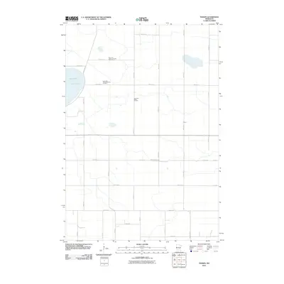
2010 Map of Thorpe
USGS Topo · Published 2010About this map
Lake Lillian and the surrounding agricultural landscape of Kandiyohi County are captured here in a period of modern rural stability. The map is particularly valuable for genealogical research, documenting several distinct burial sites including the Early Lake Lillian Community Burial Ground, the Lake Lillian United Methodist Cemetery, and the Lake Lillian Baptist Cemetery. These sites, scattered along the section lines, anchor the history of the local Norwegian and Swedish pioneer families to the land.
Find a feature on this map
31 named features on this map. Tap any name to fly to it.
Don’t see what you’re looking for? This feature index may not catch every label — zoom into the map to look around manually.
Map Details
Editions of this 2010 Thorpe Map
This is the sole edition of this map. No revisions or reprints were ever made.
Other maps of this area

1953 · New Ulm
USGS Topo · 1:250,000

1953 · Saint Cloud
USGS Topo · 1:250,000

1956 · Atwater
USGS Topo · 1:62,500

1957 · Saint Cloud
USGS Topo · 1:250,000

1957 · New Ulm
USGS Topo · 1:250,000

1957 · Olivia
USGS Topo · 1:62,500

1958 · New Ulm
USGS Topo · 1:250,000

1958 · Saint Cloud
USGS Topo · 1:250,000

1967 · New Ulm
USGS Topo · 1:250,000

1967 · Churchill
USGS Topo · 1:24,000