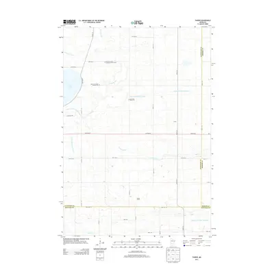
2013 Map of Thorpe
USGS Topo · Published 2013About this map
The agricultural landscape where Kandiyohi, Meeker, and Renville counties meet is defined by a highly managed water system feeding into the S Fork Crow River and Buffalo Cr. This early 21st-century survey reveals the geometric precision of the region's drainage, from the Judicial Ditch Number Twentynine to the County Ditch Number Fiftytwo, which lattice the prairie around the eastern shore of Lake Lillian.
Find a feature on this map
39 named features on this map. Tap any name to fly to it.
Don’t see what you’re looking for? This feature index may not catch every label — zoom into the map to look around manually.
Map Details
Editions of this 2013 Thorpe Map
This is the sole edition of this map. No revisions or reprints were ever made.
Other maps of this area

1953 · New Ulm
USGS Topo · 1:250,000

1953 · Saint Cloud
USGS Topo · 1:250,000

1956 · Atwater
USGS Topo · 1:62,500

1957 · Saint Cloud
USGS Topo · 1:250,000

1957 · New Ulm
USGS Topo · 1:250,000

1957 · Olivia
USGS Topo · 1:62,500

1958 · New Ulm
USGS Topo · 1:250,000

1958 · Saint Cloud
USGS Topo · 1:250,000

1967 · New Ulm
USGS Topo · 1:250,000

1967 · Churchill
USGS Topo · 1:24,000