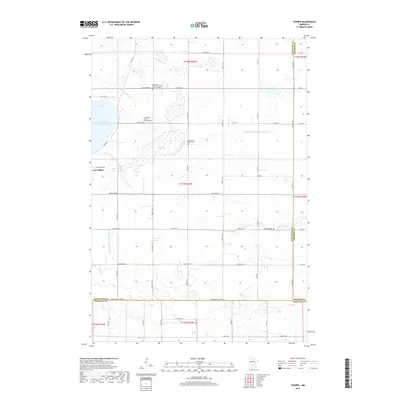
2019 Map of Thorpe
USGS Topo · Published 2019About this map
Lake Lillian serves as a dominant central feature of this western Minnesota landscape, situated at the intersection of Kandiyohi, Meeker, and Renville counties. The surrounding terrain is defined by a complex network of agricultural drainage systems, including County Ditch Number Fiftytwo and County Ditch Number Fiftyone, which manage the water levels of the prairie potholes and marshy lowlands typical of this region. The S Fork Crow River cuts through the northern portion of the quadrangle, while Buffalo Cr flows through the south, anchoring the local watershed.
Find a feature on this map
42 named features on this map. Tap any name to fly to it.
Don’t see what you’re looking for? This feature index may not catch every label — zoom into the map to look around manually.
Map Details
Editions of this 2019 Thorpe Map
This is the sole edition of this map. No revisions or reprints were ever made.
Other maps of this area

1953 · New Ulm
USGS Topo · 1:250,000

1953 · Saint Cloud
USGS Topo · 1:250,000

1956 · Atwater
USGS Topo · 1:62,500

1957 · Saint Cloud
USGS Topo · 1:250,000

1957 · New Ulm
USGS Topo · 1:250,000

1957 · Olivia
USGS Topo · 1:62,500

1958 · New Ulm
USGS Topo · 1:250,000

1958 · Saint Cloud
USGS Topo · 1:250,000

1967 · New Ulm
USGS Topo · 1:250,000

1967 · Churchill
USGS Topo · 1:24,000