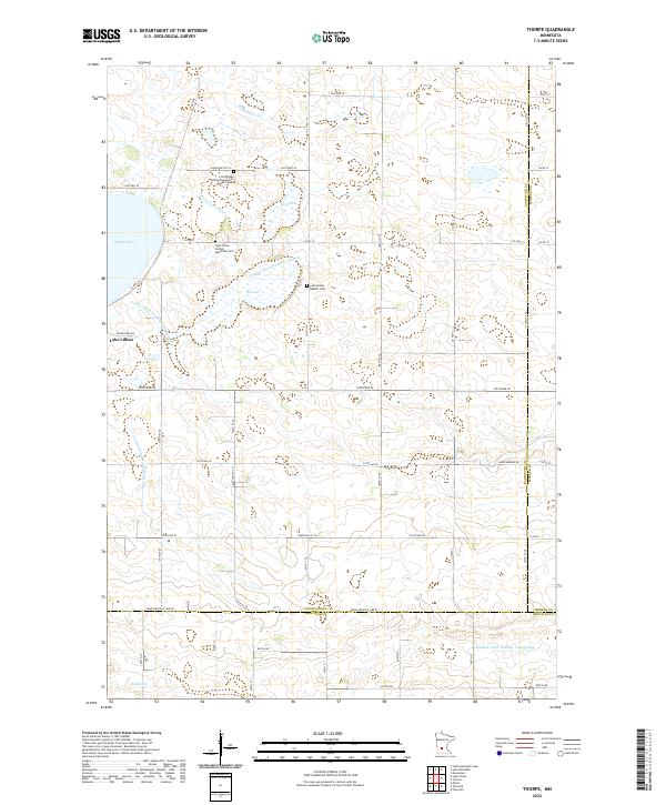
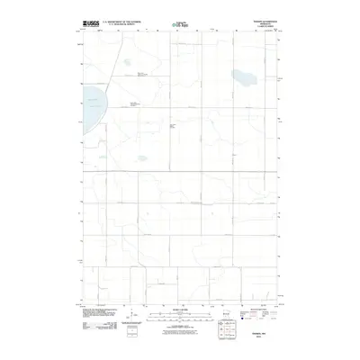
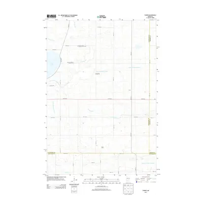
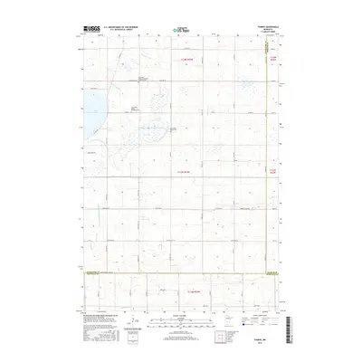
2022 Map of Thorpe
USGS Topo · Published 2022About this map
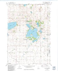
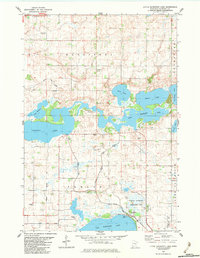
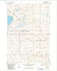
Lake Lillian anchors this landscape in southeastern Kandiyohi County, where the agricultural grid is defined by an extensive network of drainage infrastructure including County Ditch Number Fifty-one and Judicial Ditch Number Twentynine. The area is a mosaic of prairie potholes and water bodies such as Emma Lake and Dog Lake, which feed into natural systems like the S Fork Crow River and Buffalo Cr. For genealogists and local historians, the map provides precise locations for significant community sites, including the Early Lake Lillian Community Burial Ground and several denominational resting places like the Lake Lillian Baptist Cem. The township boundaries—where Kandiyohi, Meeker, and Renville counties converge—are clearly delineated alongside the section lines and rural road networks that have structured this farming region for generations.
Find a feature on this map
51 named features on this map. Tap any name to fly to it.
Don’t see what you’re looking for? This feature index may not catch every label — zoom into the map to look around manually.
Map Details
Editions of this 2022 Thorpe Map
This is the sole edition of this map. No revisions or reprints were ever made.
Historical Maps of Lake Lillian Through Time
36 maps found
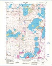
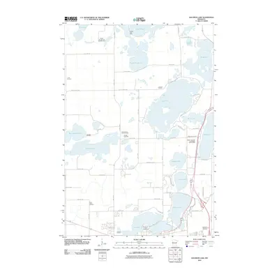
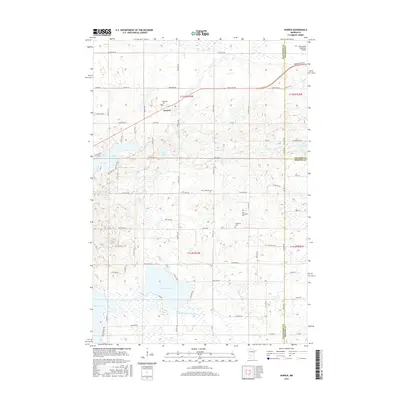
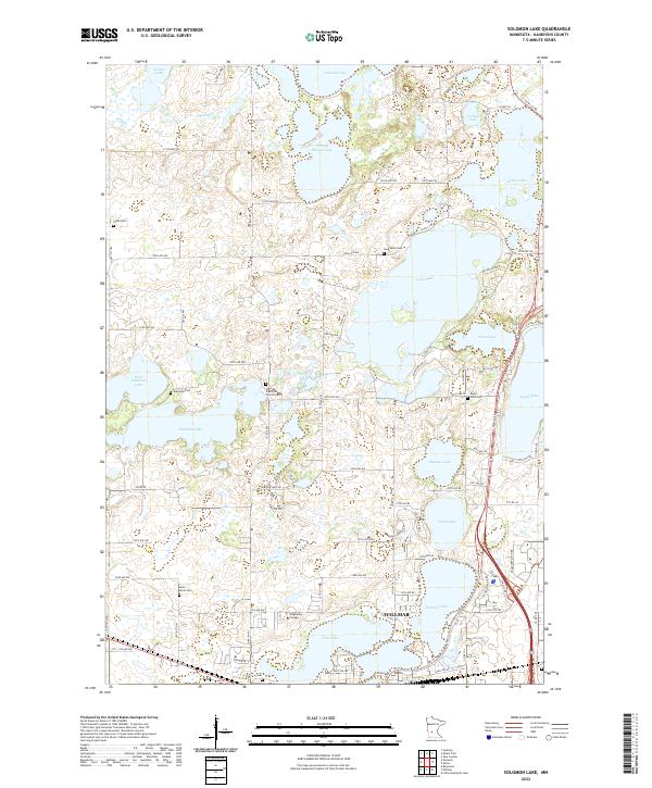
1958 Solomon Lake
Kandiyohi County, MN
1967 Hawick
Kandiyohi County, MN
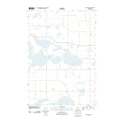
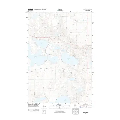
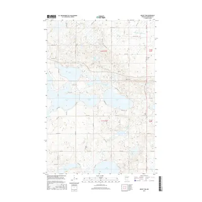
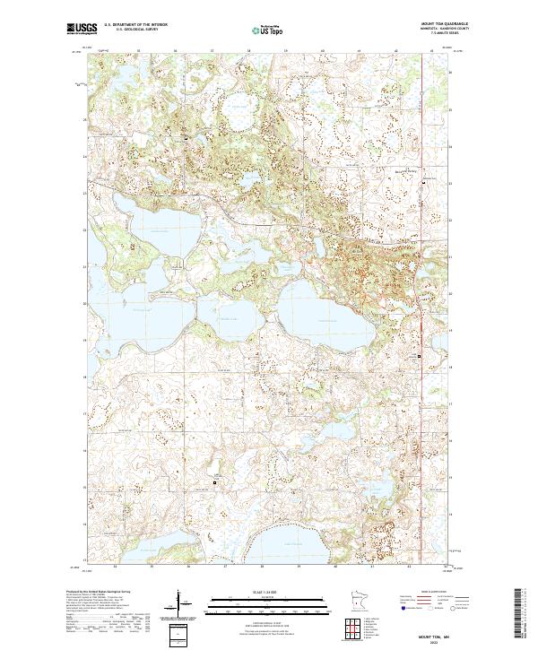
1967 Mount Tom
Kandiyohi County, MN
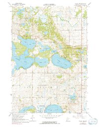
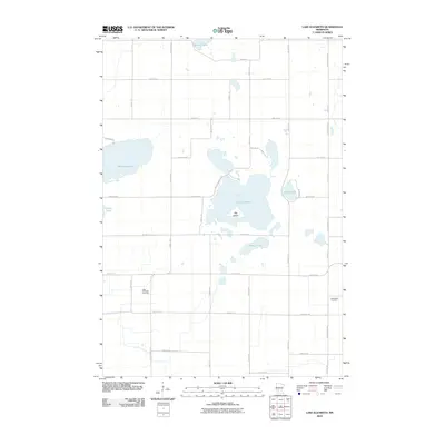
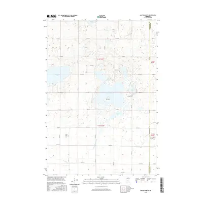
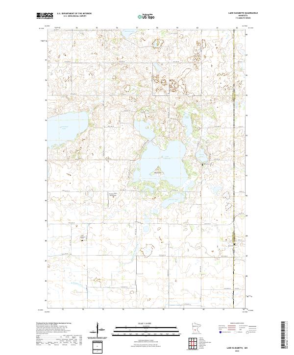
1982 Lake Elizabeth
Kandiyohi County, MN
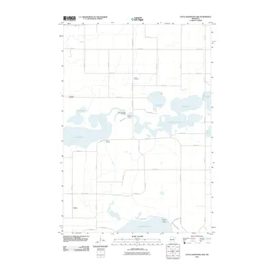
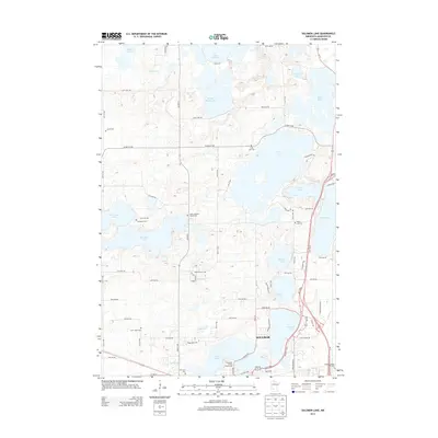
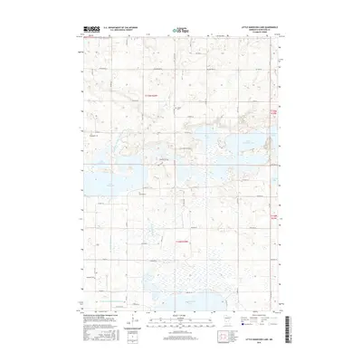
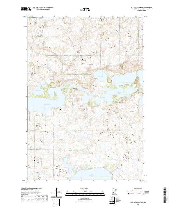
1982 Little Kandiyohi Lake
Kandiyohi County, MN
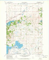
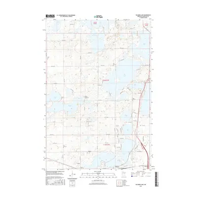
1982 Thorpe
Kandiyohi County, MN
2010 Hawick
Kandiyohi County, MN
2010 Lake Elizabeth
Kandiyohi County, MN
2010 Little Kandiyohi Lake
Kandiyohi County, MN
2010 Mount Tom
Kandiyohi County, MN
2010 Solomon Lake
Kandiyohi County, MN
2010 Thorpe
Kandiyohi County, MN
2013 Hawick
Kandiyohi County, MN
2013 Lake Elizabeth
Kandiyohi County, MN
2013 Little Kandiyohi Lake
Kandiyohi County, MN
2013 Mount Tom
Kandiyohi County, MN
2013 Solomon Lake
Kandiyohi County, MN
2013 Thorpe
Kandiyohi County, MN
2016 Hawick
Kandiyohi County, MN
2016 Lake Elizabeth
Kandiyohi County, MN
2016 Little Kandiyohi Lake
Kandiyohi County, MN
2016 Mount Tom
Kandiyohi County, MN
2016 Solomon Lake
Kandiyohi County, MN
2016 Thorpe
Kandiyohi County, MN
2019 Hawick
Kandiyohi County, MN
2019 Lake Elizabeth
Kandiyohi County, MN
2019 Little Kandiyohi Lake
Kandiyohi County, MN
2019 Mount Tom
Kandiyohi County, MN
2019 Solomon Lake
Kandiyohi County, MN
2019 Thorpe
Kandiyohi County, MN
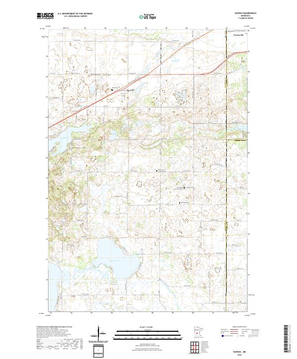
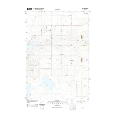
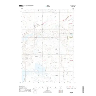
2022 Hawick
Kandiyohi County, MN
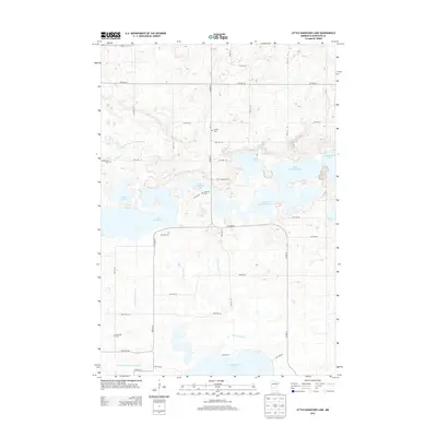
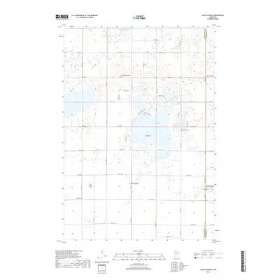
2022 Lake Elizabeth
Kandiyohi County, MN
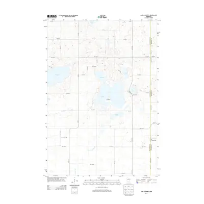
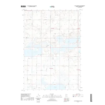
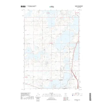
2022 Little Kandiyohi Lake
Kandiyohi County, MN
2022 Mount Tom
Kandiyohi County, MN
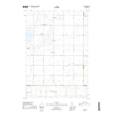
2022 Solomon Lake
Kandiyohi County, MN
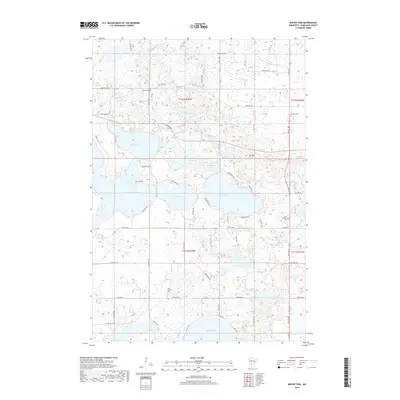
2022 Thorpe
Kandiyohi County, MN