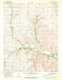
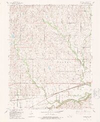
1973 Map of Thrall NW
USGS Topo · Published 1975About this map
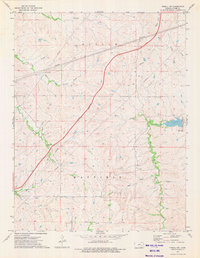
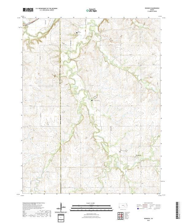
North Branch Verdigris River and its network of tributaries carve through the heart of Chase County in the early 1970s. This survey illustrates a rural landscape defined by ranching and transit, dominated by the diagonal path of the Kansas Toll Road Turnpike slicing through the western sections. The terrain is divided into the expansive townships of Bazaar and Matfield, where the headwaters of numerous creeks including Norton Creek, Sharpes Creek, and Bloody Creek create a dense drainage pattern across the prairie. The map documents industrial infrastructure of the era, notably the series of pipelines that traverse the northern and central hills. Researchers will find a world of named water features like Camp Creek and Bull Creek that historically dictated the placement of homesteads and grazing lands in this portion of the Flint Hills region.
Find a feature on this map
14 named features on this map. Tap any name to fly to it.
Don’t see what you’re looking for? This feature index may not catch every label — zoom into the map to look around manually.
Map Details
Editions of this 1973 Thrall NW Map
This is the sole edition of this map. No revisions or reprints were ever made.
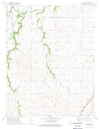
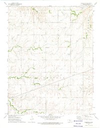
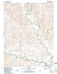
Historical Maps of Chase County Through Time
17 maps found
1957 Hymer
Chase County, KS
1957 Saffordville
Chase County, KS
1957 Wonsevu
Chase County, KS
1970 Lincolnville NE
Chase County, KS
1973 Gladstone
Chase County, KS
1973 Homestead
Chase County, KS
1973 Thrall NW
Chase County, KS
1989 Hymer
Chase County, KS
1989 Saffordville
Chase County, KS
1989 Wonsevu
Chase County, KS
2022 Gladstone
Chase County, KS
2022 Homestead
Chase County, KS
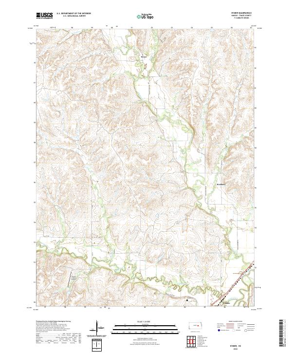
2022 Hymer
Chase County, KS
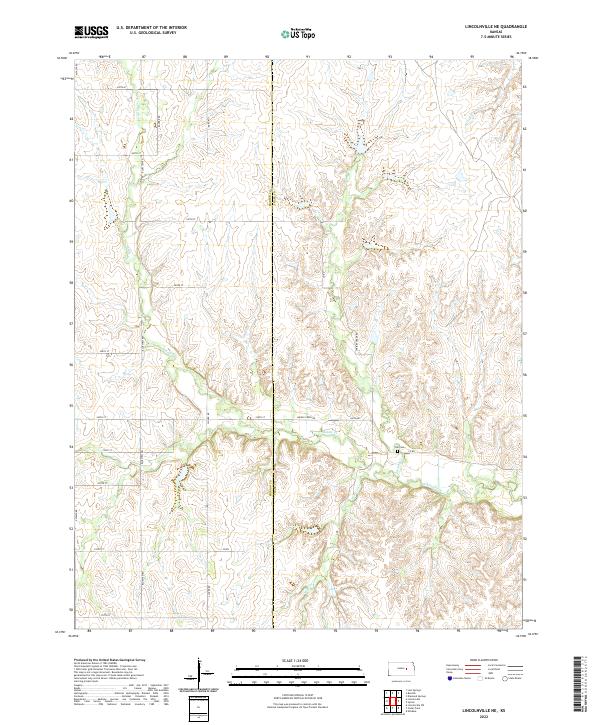
2022 Lincolnville NE
Chase County, KS
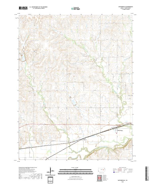
2022 Saffordville
Chase County, KS
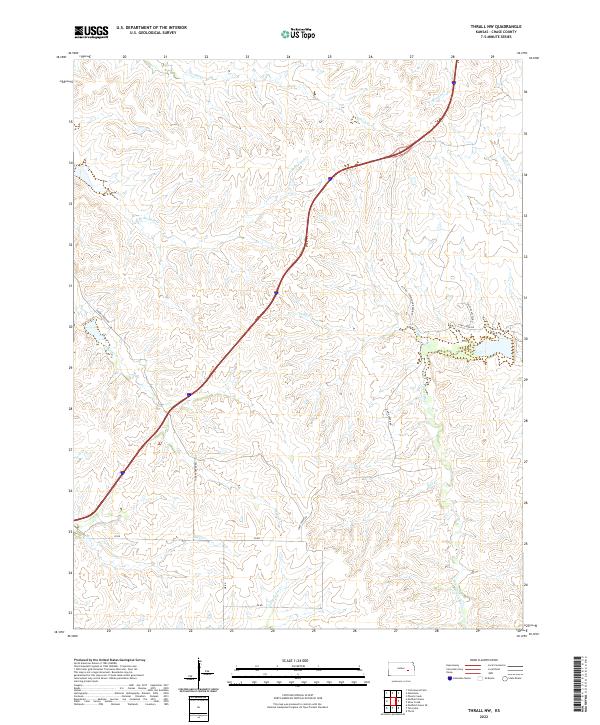
2022 Thrall NW
Chase County, KS
2022 Wonsevu
Chase County, KS