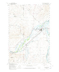
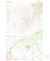
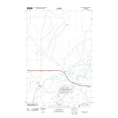
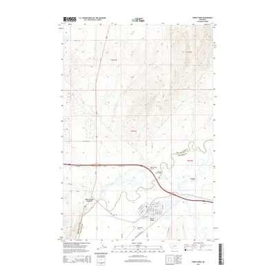
1895 Map of Three Forks
USGS Topo · Published 1910About this map
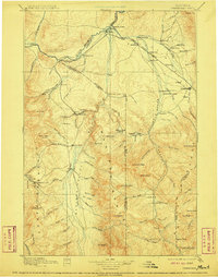
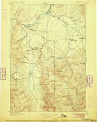
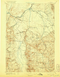
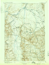
The confluence of the Jefferson River, Madison River, and Gallatin River forms the headwaters of the Missouri River on this reconnaissance survey of southwest Montana. The regional infrastructure is defined by the Northern Pacific Railroad, which follows the river valleys through Threeforks, Manhattan, and Belgrade toward the territorial hub of Bozeman. In the southwest corner, the legacy of the 1860s gold rush is evident around Virginia City, where Alder Gulch and Browns Gulch mark the sites of significant placer mining activity. The map reveals a transition from these early mining districts to established agricultural ranching, shown by markers such as Gums Ranch and Spring Hill. Along the river corridors, early infrastructure is preserved through named crossings like Barton's Bridge and Shedds Bridge, alongside thermal landmarks like Matthews Hot Springs.
Find a feature on this map
126 named features on this map. Tap any name to fly to it.
Don’t see what you’re looking for? This feature index may not catch every label — zoom into the map to look around manually.
Map Details
Editions of this 1895 Three Forks Map
5 editions found

Historical Maps of Bozeman Through Time
10 maps found

1888 Three Forks
Gallatin County, MT

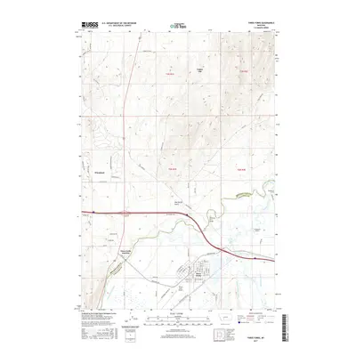
1894 Three Forks
Gallatin County, MT
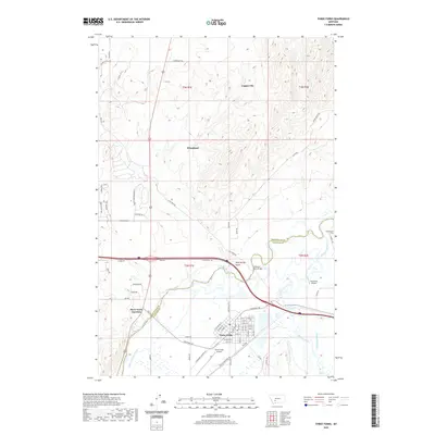
1895 Three Forks
Gallatin County, MT
1950 Three Forks
Gallatin County, MT
1987 Three Forks
Gallatin County, MT
2011 Three Forks
Gallatin County, MT
2014 Three Forks
Gallatin County, MT
2017 Three Forks
Gallatin County, MT
2020 Three Forks
Gallatin County, MT
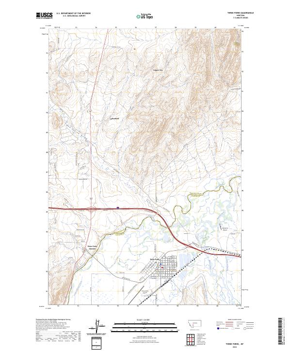
2024 Three Forks
Gallatin County, MT