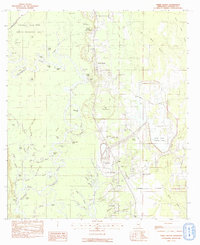
1982 Map of Three Rivers
USGS Topo · Published 1982About this map
The Pascagoula River dominates this portion of Jackson County, carving a complex network of oxbow lakes, sloughs, and bayous through the Pascagoula River State Wildlife Management Area. The landscape is defined by its watery transition from the river's main channel to higher ground, featuring named landmarks like Cumbest Bluff and the prominent river bend known as The Horseshoe. Numerous oxbows such as Shingle Lake, Hubbard Lake, and Gater Lake illustrate the river's shifting path over time.
Find a feature on this map
76 named features on this map. Tap any name to fly to it.
Don’t see what you’re looking for? This feature index may not catch every label — zoom into the map to look around manually.
Map Details
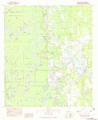
Editions of this 1982 Three Rivers Map
2 editions found
Other maps of this area

1921 · Grand Bay
USGS Topo · 1:62,500

1941 · Hurley
USGS Topo · 1:62,500

1941 · Vancleave
USGS Topo · 1:62,500

1943 · Pascagoula
USGS Topo · 1:62,500

1943 · Grand Bay
USGS Topo · 1:62,500

1943 · Hurley
USGS Topo · 1:62,500

1943 · Vancleave
USGS Topo · 1:62,500

1944 · Vancleave
USGS Topo · 1:62,500

1953 · Mobile
USGS Topo · 1:250,000

1955 · Pascagoula
USGS Topo · 1:62,500