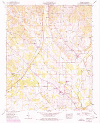
1954 Map of Threet
USGS Topo · Published 1977About this map
Cypress Creek and its many tributaries, including Middle Cypress Creek and Threet Branch, dominate this rural landscape of northern Alabama. The area is defined by a dense network of local communities and family-centered landmarks such as Threet and Cloverdale. Numerous country churches and schools serve as the anchors of these settlements, with Macedonia Ch, Little Zion Church, and Hendricks Chapel scattered across the undulating terrain. A distinctive feature of this era is the presence of the Natchez Trace Parkway, which winds through the western portion of the quadrangle. Genealogists will find significant value in the documentation of several burial grounds, including Austin Cem, Dowdy Cem, and Paulk Cem, while the 1970s purple photorevisions highlight changes in land use, showing new fence lines and field boundaries against the established 1950s base map.
Find a feature on this map
51 named features on this map. Tap any name to fly to it.
Don’t see what you’re looking for? This feature index may not catch every label — zoom into the map to look around manually.
Map Details
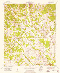
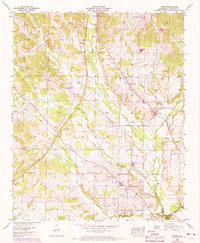
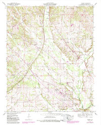
Editions of this 1954 Threet Map
4 editions found
Other maps of this area

1905 · Waynesboro
USGS Topo · 1:125,000

1914 · Muscle Shoals
USGS Topo · 1:48,000

1916 · Muscle Shoals
USGS Topo · 1:62,500

1924 · Gravelly Springs
USGS Topo · 1:48,000

1926 · Gravelly Springs
USGS Topo · 1:62,500

1935 · Cherokee
USGS Topo · 1:24,000

1935 · Wright
USGS Topo · 1:24,000

1936 · Light
USGS Topo · 1:24,000

1936 · Threet
USGS Topo · 1:24,000

1936 · Cypress Inn
USGS Topo · 1:24,000