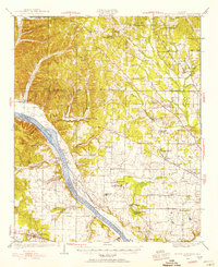
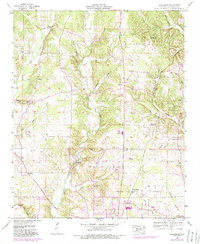
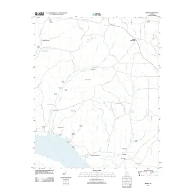
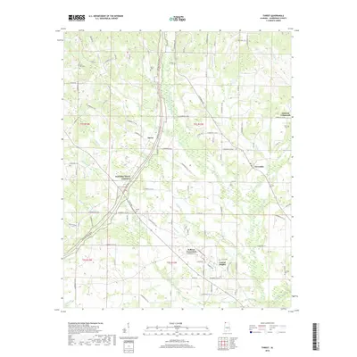
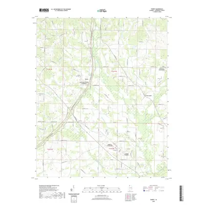
1954 Map of Threet
USGS Topo · Published 1988About this map
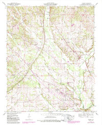
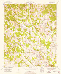
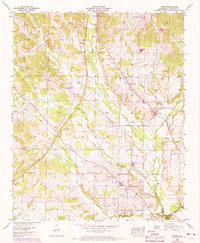
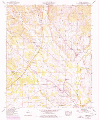
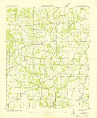
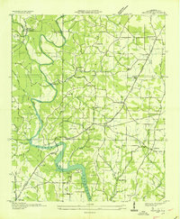
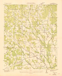
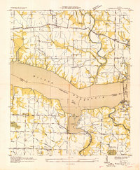
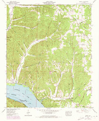
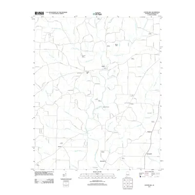
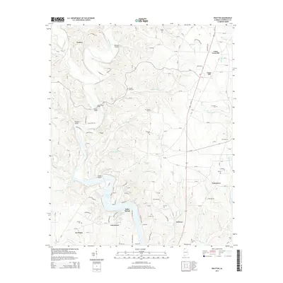
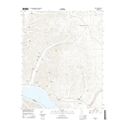
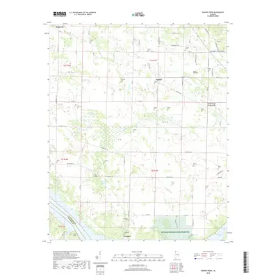
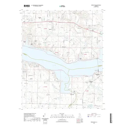
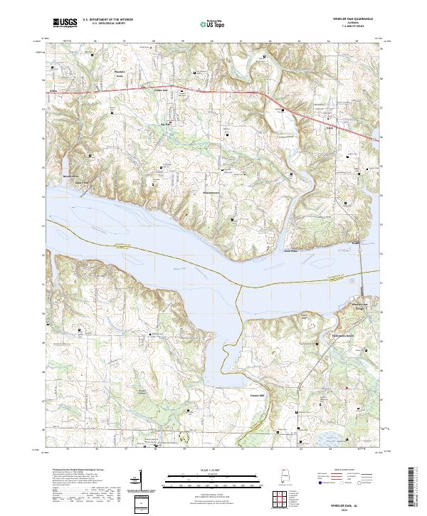
The Natchez Trace Parkway cuts diagonally across this section of Lauderdale County, tracing an ancient corridor through a landscape defined by the branching waters of Cypress Creek and Lindsey Creek. Small agricultural communities like Threet and Austin Com anchor the rural territory, while the network of crossroads settlements such as Johnson Crossroads and Sullivan Crossroads illustrates the mid-century social geography of the Alabama-Tennessee borderlands. Educational and spiritual life centers on local landmarks including Cloverdale School, Central School, and churches such as Macedonia Ch and Wesley Chapel. Genealogists will find particular value in the clearly marked family and community burial grounds, such as Dowdy Cem and Simmons Cem, which remain as permanent fixtures amidst the evolving woodlots and pastures recorded by the Tennessee Valley Authority and the Geological Survey.
Find a feature on this map
36 named features on this map. Tap any name to fly to it.
Don’t see what you’re looking for? This feature index may not catch every label — zoom into the map to look around manually.
Map Details
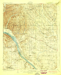
Editions of this 1954 Threet Map
4 editions found
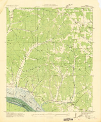
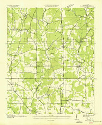
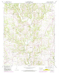
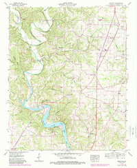
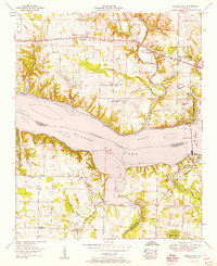
Historical Maps of Threet Through Time
52 maps found
1924 Gravelly Springs
Lauderdale County, AL
1926 Gravelly Springs
Lauderdale County, AL
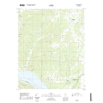
1935 Wright
Lauderdale County, AL
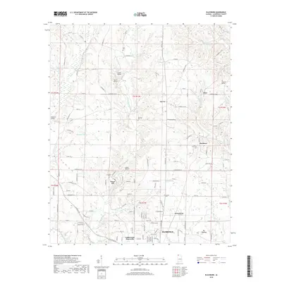
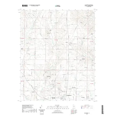
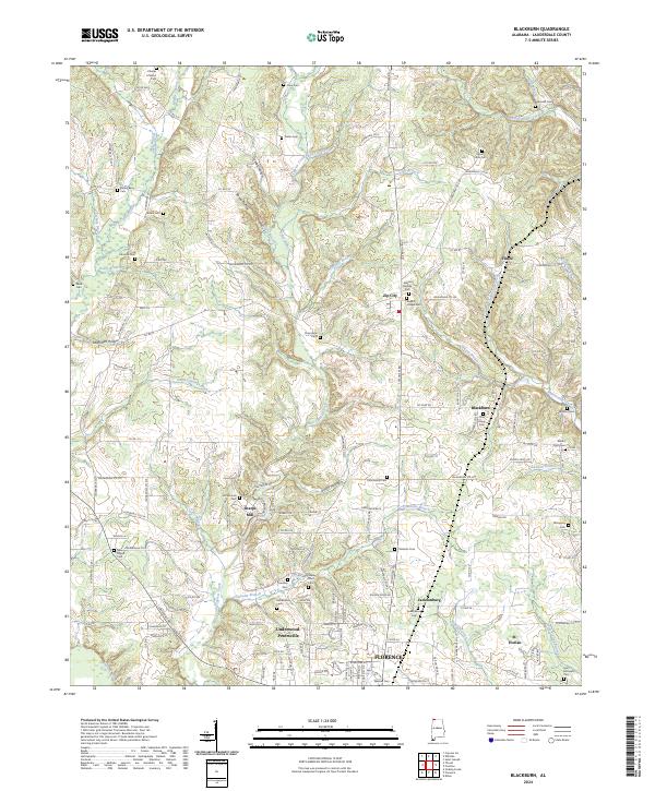
1936 Blackburn
Lauderdale County, AL
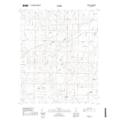
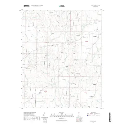
1936 Center Hill
Lauderdale County, AL
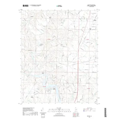
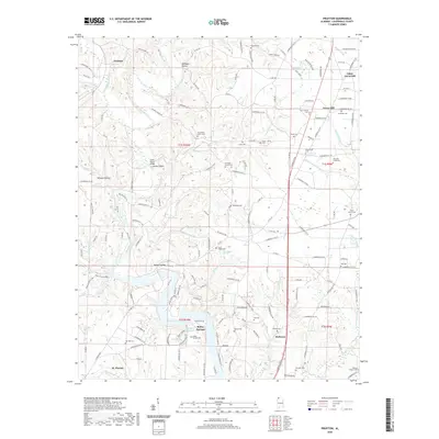
1936 Pruitton
Lauderdale County, AL

1936 Thorntontown
Lauderdale County, AL
1936 Threet
Lauderdale County, AL
1936 Wheeler Dam
Lauderdale County, AL
1952 Blackburn
Lauderdale County, AL
1952 Center Hill
Lauderdale County, AL
1952 Pruitton
Lauderdale County, AL
1952 Wheeler Dam
Lauderdale County, AL
1953 Wright
Lauderdale County, AL
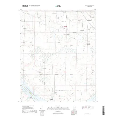
1954 Sinking Creek
Lauderdale County, AL
1954 Threet
Lauderdale County, AL
1971 Wheeler Dam
Lauderdale County, AL
2011 Blackburn
Lauderdale County, AL
2011 Center Hill
Lauderdale County, AL
2011 Pruitton
Lauderdale County, AL
2011 Sinking Creek
Lauderdale County, AL
2011 Threet
Lauderdale County, AL
2011 Wright
Lauderdale County, AL
2012 Wheeler Dam
Lauderdale County, AL
2014 Blackburn
Lauderdale County, AL
2014 Center Hill
Lauderdale County, AL
2014 Pruitton
Lauderdale County, AL
2014 Sinking Creek
Lauderdale County, AL
2014 Threet
Lauderdale County, AL
2014 Wheeler Dam
Lauderdale County, AL
2014 Wright
Lauderdale County, AL
2018 Blackburn
Lauderdale County, AL
2018 Center Hill
Lauderdale County, AL
2018 Pruitton
Lauderdale County, AL
2018 Sinking Creek
Lauderdale County, AL
2018 Threet
Lauderdale County, AL
2018 Wheeler Dam
Lauderdale County, AL
2018 Wright
Lauderdale County, AL
2020 Blackburn
Lauderdale County, AL
2020 Pruitton
Lauderdale County, AL
2020 Sinking Creek
Lauderdale County, AL
2020 Threet
Lauderdale County, AL
2020 Wheeler Dam
Lauderdale County, AL
2020 Wright
Lauderdale County, AL
2021 Center Hill
Lauderdale County, AL
2024 Blackburn
Lauderdale County, AL
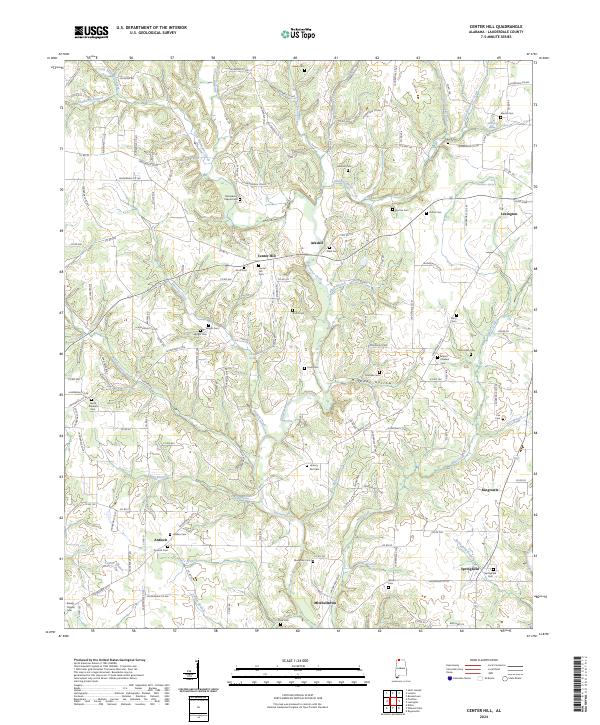
2024 Center Hill
Lauderdale County, AL
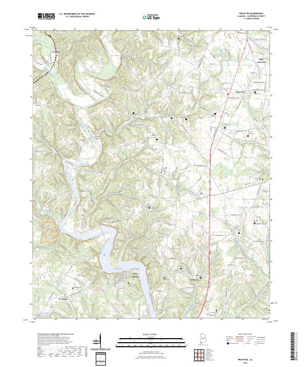
2024 Pruitton
Lauderdale County, AL
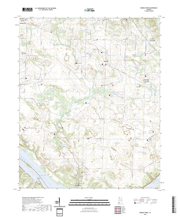
2024 Sinking Creek
Lauderdale County, AL
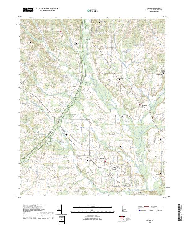
2024 Threet
Lauderdale County, AL
2024 Wheeler Dam
Lauderdale County, AL
2024 Wright
Lauderdale County, AL