
1951 Map of Thunder Mountain
USGS Topo · Published 1953About this map
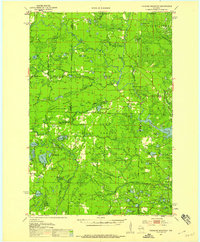
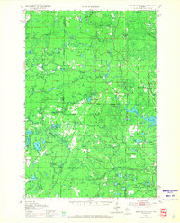
The Peshtigo River carves through this northern landscape, defining a region of hydraulic power and recreation. As seen in the early 1950s, the river is marked by series of natural obstacles and landmarks including Wilson Rapids, Roaring Rapids, and Jerry Chute. This portion of the Nicolet National Forest is characterized by its dense network of glacial lakes and wetlands, where isolated features like the Shady Nook Sch and McClintock Park served a small, localized population. A primary focus of the 1951 field examination was fire observation, evidenced by the strategic positioning of the McCaslin Lookout Tower and the Thunder Mountain Lookout Tower atop the local high points. These towers, along with a complex of designated Fire Lanes, provide a detailed view of the mid-century forestry infrastructure within Marinette and Oconto counties.
Find a feature on this map
84 named features on this map. Tap any name to fly to it.
Don’t see what you’re looking for? This feature index may not catch every label — zoom into the map to look around manually.
Map Details
Editions of this 1951 Thunder Mountain Map
3 editions found
Other maps of this area

1939 · Dunbar
USGS Topo · 1:48,000

1939 · Goodman
USGS Topo · 1:48,000

1939 · Laona
USGS Topo · 1:48,000

1940 · Thunder Mtn.
USGS Topo · 1:48,000

1940 · Athelstane
USGS Topo · 1:48,000

1941 · Dunbar
USGS Topo · 1:48,000

1941 · Coleman
USGS Topo · 1:48,000

1942 · Athelstane
USGS Topo · 1:48,000

1942 · Coleman
USGS Topo · 1:48,000

1942 · Breed
USGS Topo · 1:48,000