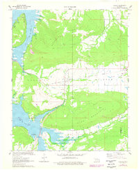
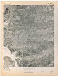
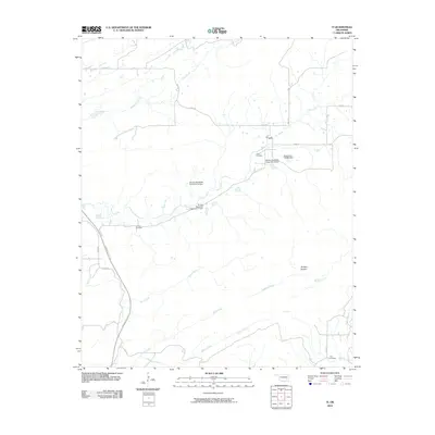
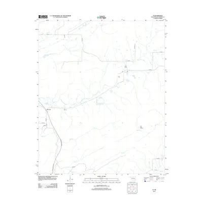
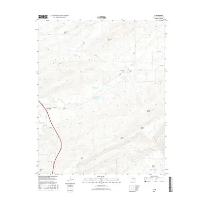
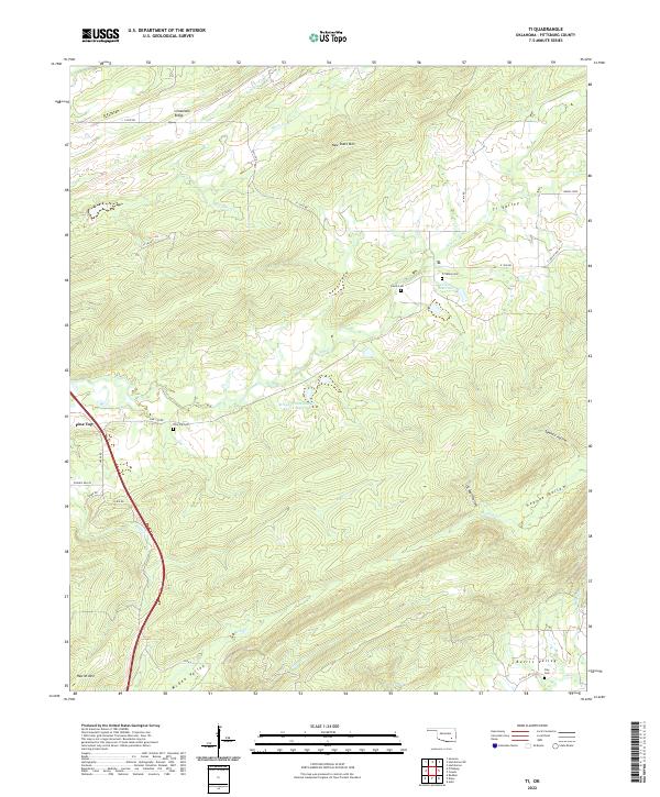
1973 Map of Ti
USGS Topo · Published 1975About this map
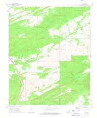
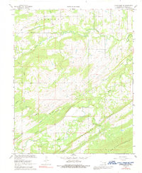
New State Mountain and Limestone Ridge dominate this rugged portion of Pittsburg Co, reflecting the complex topography of the Choctaw Nation lands in the early 1970s. The settlement of Ti and the smaller locale of Modisette appear as central community points, while the Indian Nation Toll Road (Turnpike) provides a modern transit artery cutting through the hills. For local historians and genealogists, the map preserves the locations of several burial grounds, including Pine Top Cem, Lewis Cem, and Clay Cem. The landscape is a mix of high ridges and deep hollows like Sawmill Hollow and Oil Well Hol, drained by numerous creeks such as Elm Creek and Hogeye Creek. A lone Radio Tower and a Quarry near the northern ridge indicate the localized industrial and utility footprint of the era.
Find a feature on this map
26 named features on this map. Tap any name to fly to it.
Don’t see what you’re looking for? This feature index may not catch every label — zoom into the map to look around manually.
Map Details
Editions of this 1973 Ti Map
This is the sole edition of this map. No revisions or reprints were ever made.
Historical Maps of Pine Top Through Time
55 maps found
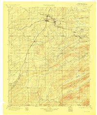
1898 Mc Alester
Pittsburg County, OK
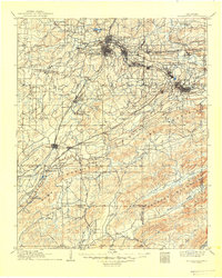
1909 Mc Alester
Pittsburg County, OK
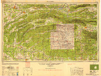
1950 Mcalester
Pittsburg County, OK
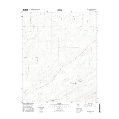
1967 Hartshorne SW
Pittsburg County, OK
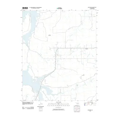
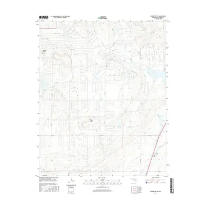
1967 Mc Alester
Pittsburg County, OK
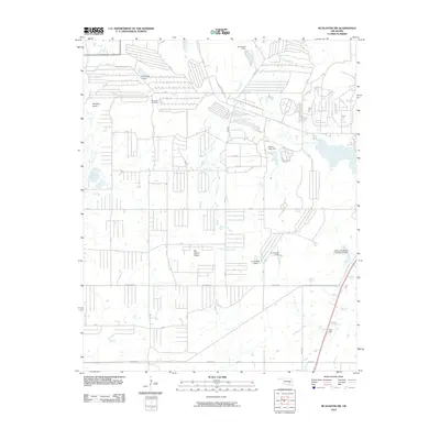
1967 Mc Alester SW
Pittsburg County, OK
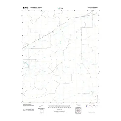
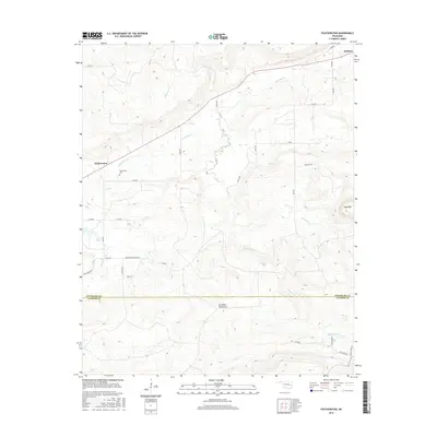
1969 Featherston
Pittsburg County, OK
1971 Blocker
Pittsburg County, OK
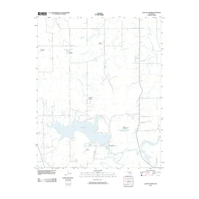
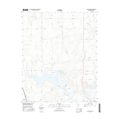
1971 Lake Mc Alester
Pittsburg County, OK
1971 Wetumka SE
Pittsburg County, OK
1973 Counts
Pittsburg County, OK
1973 Ti
Pittsburg County, OK
1977 Blocker
Pittsburg County, OK
1977 Featherston
Pittsburg County, OK

1991 Mc Alester
Pittsburg County, OK
2009 Counts
Pittsburg County, OK
2009 Hartshorne SW
Pittsburg County, OK
2010 Blocker
Pittsburg County, OK
2010 Featherston
Pittsburg County, OK
2010 Lake McAlester
Pittsburg County, OK
2010 McAlester SW
Pittsburg County, OK
2010 Ti
Pittsburg County, OK
2010 Wetumka SE
Pittsburg County, OK
2012 Blocker
Pittsburg County, OK
2012 Counts
Pittsburg County, OK
2012 Featherston
Pittsburg County, OK
2012 Hartshorne SW
Pittsburg County, OK
2012 Lake McAlester
Pittsburg County, OK
2012 McAlester SW
Pittsburg County, OK
2012 Ti
Pittsburg County, OK
2012 Wetumka SE
Pittsburg County, OK
2016 Blocker
Pittsburg County, OK
2016 Counts
Pittsburg County, OK
2016 Featherston
Pittsburg County, OK
2016 Hartshorne SW
Pittsburg County, OK
2016 Lake McAlester
Pittsburg County, OK
2016 McAlester SW
Pittsburg County, OK
2016 Ti
Pittsburg County, OK

2016 Wetumka SE
Pittsburg County, OK
2018 Blocker
Pittsburg County, OK
2018 Counts
Pittsburg County, OK
2018 Featherston
Pittsburg County, OK
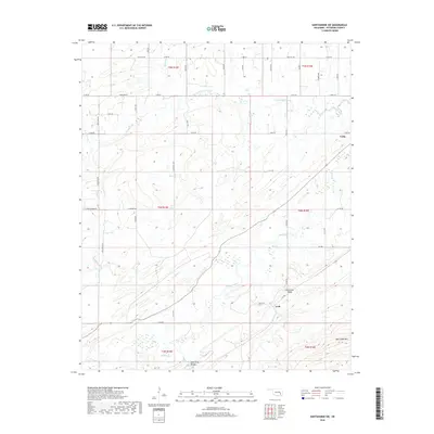
2018 Hartshorne SW
Pittsburg County, OK
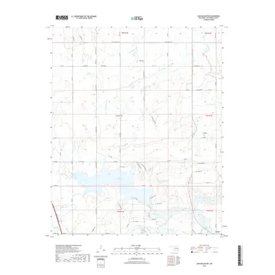
2018 Lake McAlester
Pittsburg County, OK
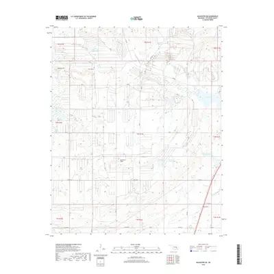
2018 McAlester SW
Pittsburg County, OK
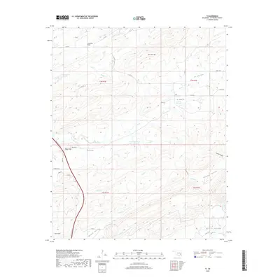
2018 Ti
Pittsburg County, OK
2018 Wetumka SE
Pittsburg County, OK
2022 Blocker
Pittsburg County, OK
2022 Counts
Pittsburg County, OK
2022 Featherston
Pittsburg County, OK
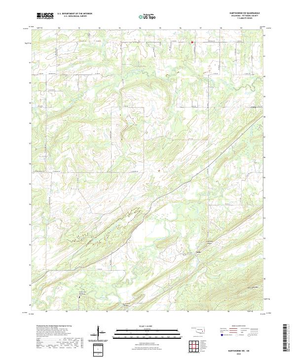
2022 Hartshorne SW
Pittsburg County, OK
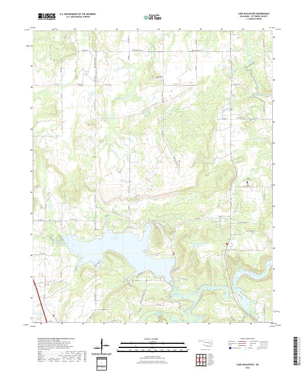
2022 Lake McAlester
Pittsburg County, OK
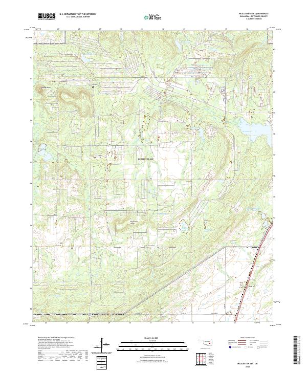
2022 McAlester SW
Pittsburg County, OK
2022 Ti
Pittsburg County, OK
2022 Wetumka SE
Pittsburg County, OK