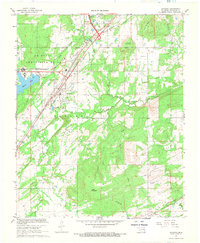
1967 Map of Savanna
USGS Topo · Published 1968About this map
Savanna sits at the heart of this late-1960s landscape, where the Missouri-Kansas-Texas railroad corridor dictates the region's transport geometry. To the northwest, the massive U S Naval Ammunition Depot dominates a significant portion of the terrain, served by its own specialized U S Government Railroad spur. This industrial and military presence contrasts with the surrounding rural topography, marked by prominent elevations like Shoat Mountain and Wade Mountain.
Find a feature on this map
31 named features on this map. Tap any name to fly to it.
Don’t see what you’re looking for? This feature index may not catch every label — zoom into the map to look around manually.
Map Details
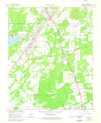
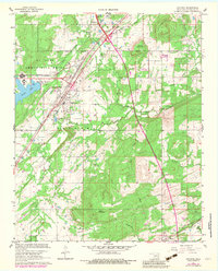
Editions of this 1967 Savanna Map
3 editions found
Other maps of this area

1898 · McAlester
USGS Topo · 1:125,000

1909 · Mc Alester
USGS Topo · 1:125,000

1950 · Mcalester
USGS Topo · 1:250,000

1962 · McAlester
USGS Topo · 1:250,000

1965 · McAlester
USGS Topo · 1:250,000
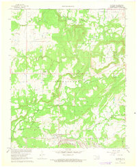
1966 · Haywood
USGS Topo · 1:24,000

1967 · Pittsburg
USGS Topo · 1:24,000

1967 · Krebs
USGS Topo · 1:24,000
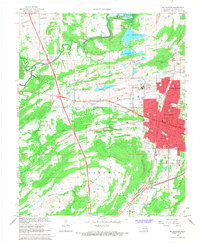
1967 · Mc Alester
USGS Topo · 1:24,000
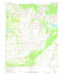
1967 · Mc Alester SW
USGS Topo · 1:24,000