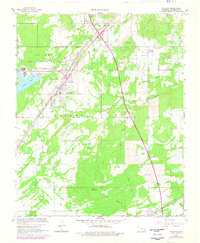
1967 Map of Savanna
USGS Topo · Published 1978About this map
The U S Army Ammunition Depot dominates the northwestern landscape of this Pittsburg County region, signaling the significant military infrastructure presence near Savanna. This 1967 survey, updated with 1977 aerial photography, captures a transitional era for Oklahoma transportation. The path of the Indian Nation Toll Road (Turnpike) cuts a modern diagonal across the terrain, contrasting with the established route of the Missouri-Kansas-Texas railroad.
Find a feature on this map
36 named features on this map. Tap any name to fly to it.
Don’t see what you’re looking for? This feature index may not catch every label — zoom into the map to look around manually.
Map Details
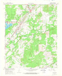
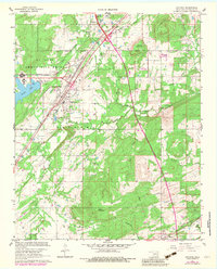
Editions of this 1967 Savanna Map
3 editions found
Other maps of this area

1898 · McAlester
USGS Topo · 1:125,000

1909 · Mc Alester
USGS Topo · 1:125,000

1950 · Mcalester
USGS Topo · 1:250,000

1962 · McAlester
USGS Topo · 1:250,000

1965 · McAlester
USGS Topo · 1:250,000
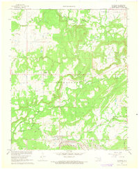
1966 · Haywood
USGS Topo · 1:24,000

1967 · Pittsburg
USGS Topo · 1:24,000

1967 · Krebs
USGS Topo · 1:24,000
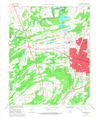
1967 · Mc Alester
USGS Topo · 1:24,000
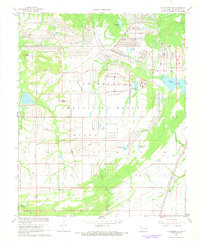
1967 · Mc Alester SW
USGS Topo · 1:24,000