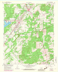
1967 Map of Savanna
USGS Topo · Published 1983About this map
Savanna and the nearby village of Chambers occupy a central corridor defined by the Missouri-Kansas-Texas rail line and the Indian Nation Toll Road Turnpike. The landscape is dominated to the northwest by the U S Army Ammunition Depot, featuring the U S Government Railroad and Brown Lake. This military installation contrasts with the surrounding rural terrain, where various peaks like Shoat Mountain, Piney Mountain, and Wade Mountain rise between wandering watercourses.
Find a feature on this map
28 named features on this map. Tap any name to fly to it.
Don’t see what you’re looking for? This feature index may not catch every label — zoom into the map to look around manually.
Map Details
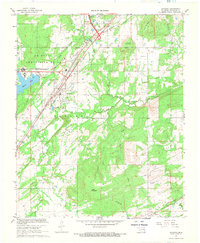
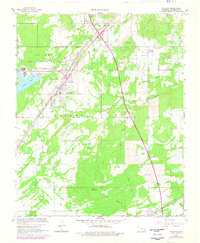
Editions of this 1967 Savanna Map
3 editions found
Other maps of this area

1898 · McAlester
USGS Topo · 1:125,000

1909 · Mc Alester
USGS Topo · 1:125,000

1950 · Mcalester
USGS Topo · 1:250,000

1962 · McAlester
USGS Topo · 1:250,000

1965 · McAlester
USGS Topo · 1:250,000
1966 · Haywood
USGS Topo · 1:24,000

1967 · Pittsburg
USGS Topo · 1:24,000

1967 · Krebs
USGS Topo · 1:24,000
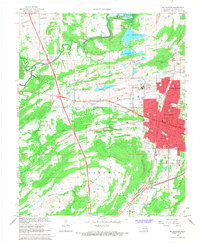
1967 · Mc Alester
USGS Topo · 1:24,000
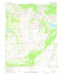
1967 · Mc Alester SW
USGS Topo · 1:24,000