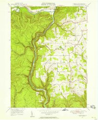
1946 Map of Tiadaghton
USGS Topo · Published 1958About this map
Pine Creek Gorge dominates the landscape of this 1946 field-checked survey, its deep canyon winding through the Shippen and Del Mar township boundaries. The New York Central railroad tracks follow the sharp bends of Pine Creek, serving small settlements like Ansonia and the namesake Tiadaghton. On the plateau above the gorge, a rural social network is visible through the Middle Ridge Ch, Sherman Sch, and West Branch Cem, indicating a community established around timber and upland farming. Significant landmarks for early 20th-century visitors include Cotton Point Park, Harrison Lookout, and Barbour Rock, which offer vantage points over the steep drainage systems of Fourmile Run and Little Fourmile Run. The map provides a clear record of localized place names like Thumptown, Stowell, and Olmsville before mid-century modernization.
Find a feature on this map
59 named features on this map. Tap any name to fly to it.
Don’t see what you’re looking for? This feature index may not catch every label — zoom into the map to look around manually.
Map Details
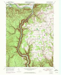
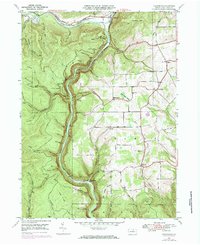
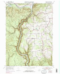
Editions of this 1946 Tiadaghton Map
5 editions found
Other maps of this area

1899 · Gaines
USGS Topo · 1:62,500

1900 · Gaines
USGS Topo · 1:62,500

1900 · Elkland
USGS Topo · 1:62,500

1946 · Tiadaghton
USGS Topo · 1:24,000

1946 · Antrim
USGS Topo · 1:62,500

1946 · Cedar Run
USGS Topo · 1:24,000

1946 · Antrim
USGS Topo · 1:24,000

1946 · Morris
USGS Topo · 1:24,000

1947 · Galeton
USGS Topo · 1:62,500

1947 · Lee Fire Tower
USGS Topo · 1:24,000
Featured Places
- Morris Township, PA
- Gaines Township, PA
- Tiadaghton, Delmar Township
- Delmar Township, PA
- Elk Township, PA